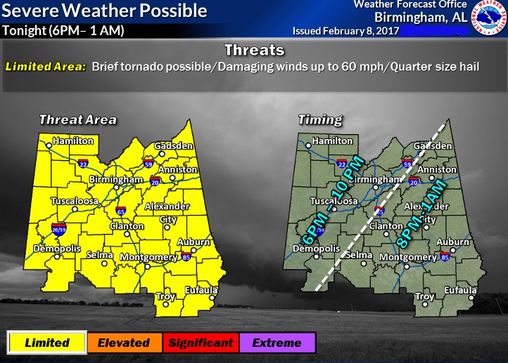
A line of thunderstorms, along a cold front will sweep across the state tonight. Some of the storms along the line could reach severe limits as the front moves southward. A few of the storms will produce damaging wind gusts to 60 mph and up to quarter size hail. The updated time line shows the storms moving through NW and north Alabama during the early evening, reaching The I-85 corridor by about the 10 o’clock hour and into southeast Alabama by about Midnight.

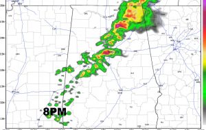
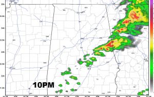
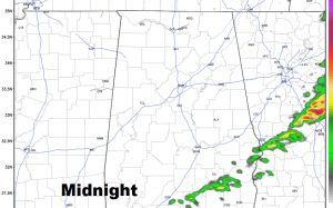
FUTURE RADAR: Hi-res Future Radar shows the southward progress of the line at 8PM, 10:PM and Midnight. Notice how this model shows the line in a weakening stage by the time the front reaches the Montgomery area. Still, though, some hail and wind gusts up to 40 mph are possible in the stronger storms. Some storms to severe limits are not out of the question, especially north of the I-85 corridor.


BEHIND THE FRONT: The line of storms is along a cold front. Temperatures will drop quickly behind the front and the winds will shift from SW to NW and increase to 25+ mph. Low by morning 46.
THURSDAY: Sunny, breezy and cooler. High upper 50’s. NW wind 10-20 mph. Low Thursday night/Friday AM 33°.
BE ALERT: A few warnings may be issued. Have your Weather App handy. It will alert you if there is a warning for your area. Radar and future radar will be helpful. Go to settings. You can add as many layers to your radar display as you wish, including lightning. I’ll have your next video by tomorrow morning at 5 with a look ahead to the weekend.
