Happy Friday! We could shatter a record from the 1800’s today. Record High. But get ready for a big weekend cool-down. Cold front arrives late tonight with a line of showers/t’storms. I’ll show you future radar. Plus, an update on the wild temperature rollercoaster over the next few days. Active weather next week as a could of storm systems roll through. Could the storms be severe? Getting you ready for the weekend, here’s your 2 minute personal weather briefing. (Bailey makes a brief cameo, too!)
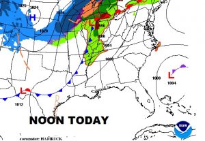
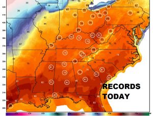
Cold front on the way. But ahead of the front, record highs today from the Gulf Coast to the Great Lakes. In Montgomery, there’s an excellent chance we will break the long standing record of 80 from 1890! That’s rare.
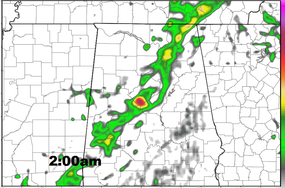
Here’s future radar at 2:00AM Saturday, showing the cold front, with a line of showers and a few thunderstorms around Birmingham to Demopolis heading rapidly southeastward.
Crazy temperature swings next 10 days. Active weather week next week. Showers /storms Monday through Wednesday. Here’s the euro out 10 days.
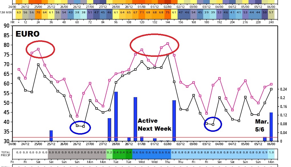
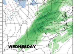
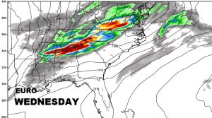
Still too early to say for sure if the storms will be strong to severe by Tuesday night & Wednesday. It’s not out of the question. Here’s a look at the GFS and the Euro model solutions.
