After Friday’s record shattering high of 83°, today and tomorrow will seem much cooler. But actually, the high temperature today and tomorrow will be very close to the average high for late February. The coldest night/morning will be tonight. Low temperatures will fall into the mid 30’s in spots. No freeze is expected. Get ready for a very active week ahead with a parade of disturbances, which will bring multiple bouts of showers & storms. Severe weather is possible by mid week. (details below)
TODAY: Sunshine. High in the low to mid 60’s. Brisk winds out of the NW at 10-20 will make it seem cooler. Clear and cold tonight. Low by morning 36°.
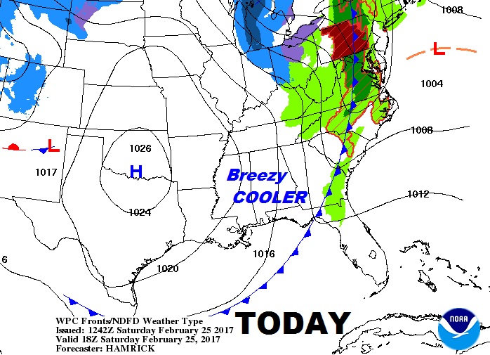
The map shows the cold front which brought spotty showers overnight will reach Tallahasse by Noon.
SUNDAY: Sunshine and near normal temps. For late February. High in the mid 60’s. Low Sunday night 45. A nice day.
THE WEEK AHEAD: A series of disturbances will swing through the area. Multiple rounds of showers and thunderstorms are a good bet. The best chance of severe storms will be mid week. More on the severe threat below. Temperatures will rebound.
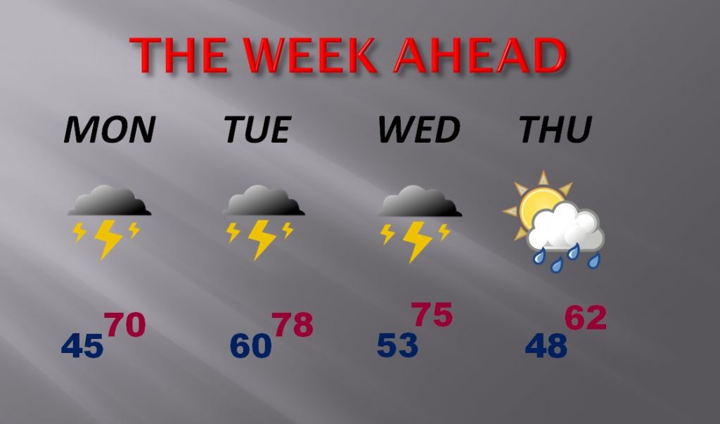
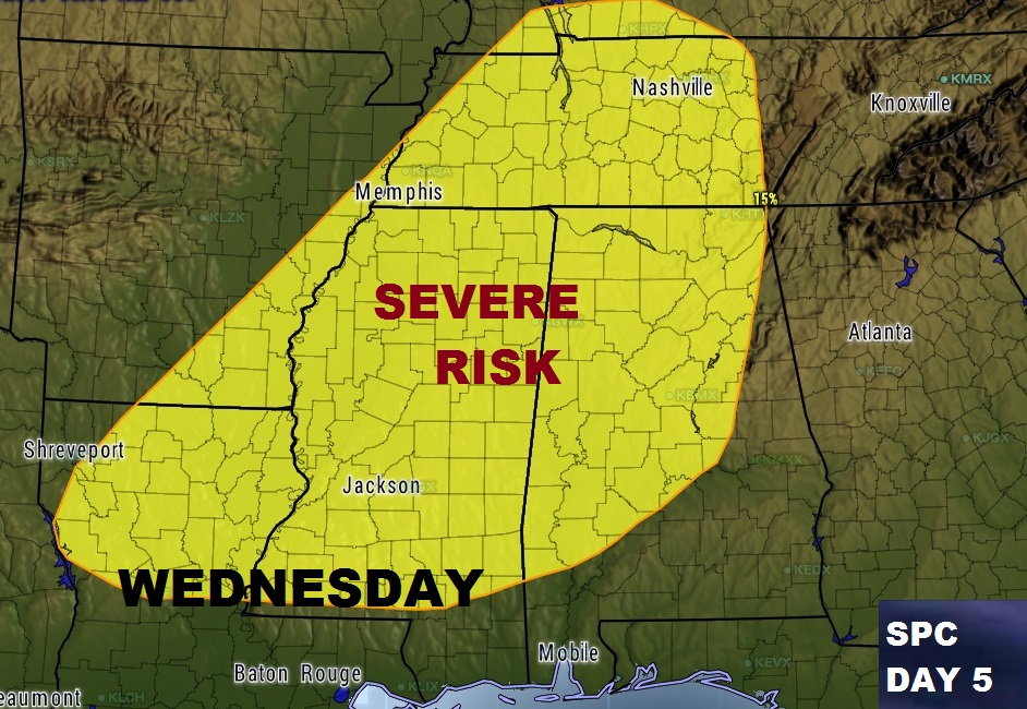
SEVERE THREAT: The Storm Prediction Center has already included a big chunk of the state in the Wednesday severe weather threat, through Thursday morning at 6AM. It always raises eyebrows when SPC issues an outlook 5 days ahead of time. Severe thunderstorms and tornadoes are possible. We will continue to monitor this threat of course.
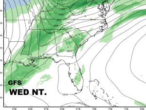
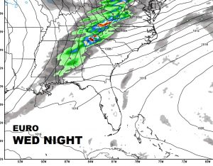
The global models continue to advertise a potent storm system, with the better threat of severe weather, it would appear, Wednesday evening, through the overnight hours Wednesday night.