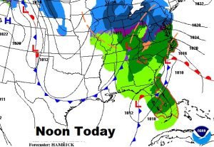
Good Morning! Showers in the forecast today & this evening as a cold front approaches. Get ready for a late season reality check. Sharply colder air is on the way. And, Attention Alabama growers..we are in for at least one Freezing Morning, possibly two. I’ll break down the details and the new numbers. Looks like I will be able to burn a few more fire logs. Here’s your Monday morning weather video.
*FORECAST UPDATE* Looking at new information, I’m making some tweaks in today’s forecast. More pessimistic. Dreary, chilly, breezy. I’m a little more bullish on the afternoon rain chance. High barely up to 53. Not a great way to start out on Monday. I will also be adjusting a few other numbers: Tuesday’s high 55. Wed AM Low 32, Wednesday’s high 50. Low Thursday morning 28. How about THAT for Spring Break? Have a good day.
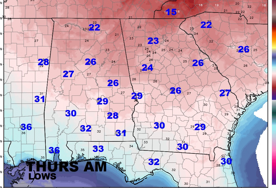
We will flirt with the freeze mark by Wednesday morning, but look for a widespread freeze deep into the hear of south Alabama by Thursday morning.
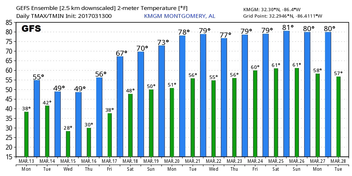
After the Big Chill this week the US Global model (GFS) shows a significant warming trend starts this weekend and continues almost till the end of the month.
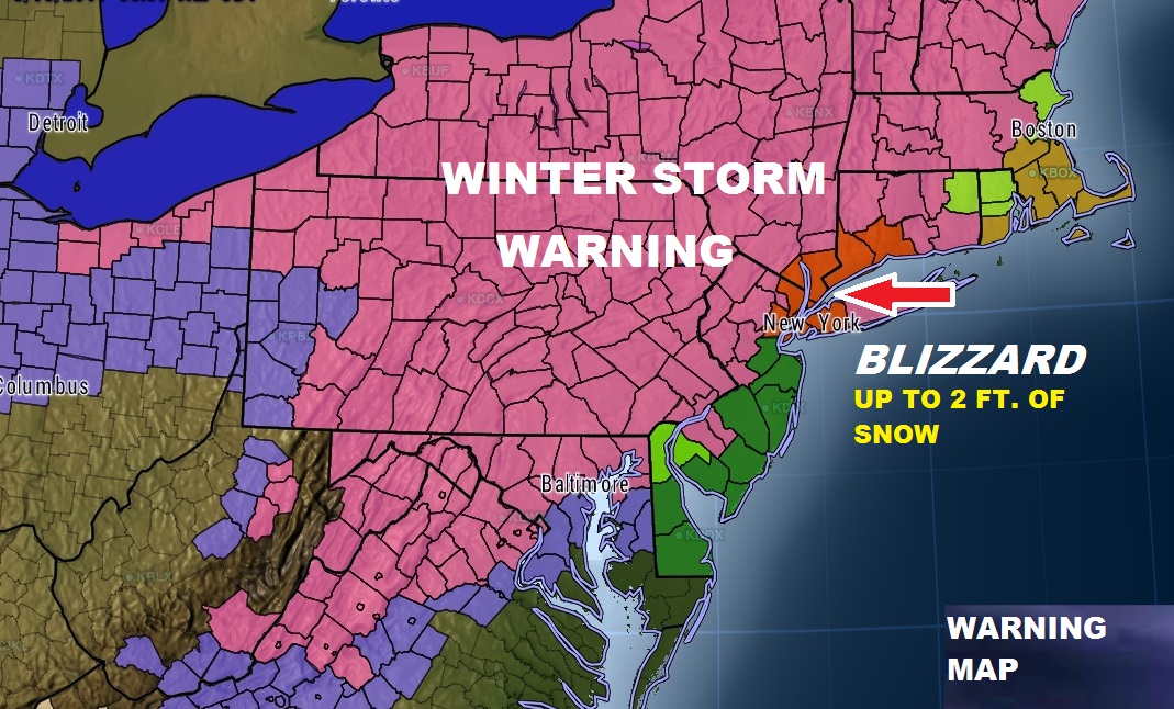
That big Blizzard which will move us the east coast will have a widespread ripple effect on national air travel beginning tonight and tomorrow. Blizzard warning now for New York City. Up to 2 feet of snow possible.
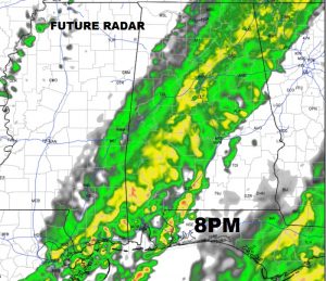
Here’s Today’s Future Radar loop through 8PM tonight. Spotty showers today…more concentrated rain arrives this evening.
