UPDATE: Severe Weather Round one, will be winding down and we shift into the more uncertain, more unstable round two with storms popping up at random in and very warm, moist, unstable environment, with plenty of spin or shear for rotating storms and tornadoes.
Gov. Bentley has declared a state of emergency in Alabama. Classes at Auburn University, Alabama and Auburn University cancelled. Many school systems like Montgomery, Elmore and Autauga county schools. In fact the school list is a mile long.
Poised for the developement of more storms, requiring new watches and new warnings.
****
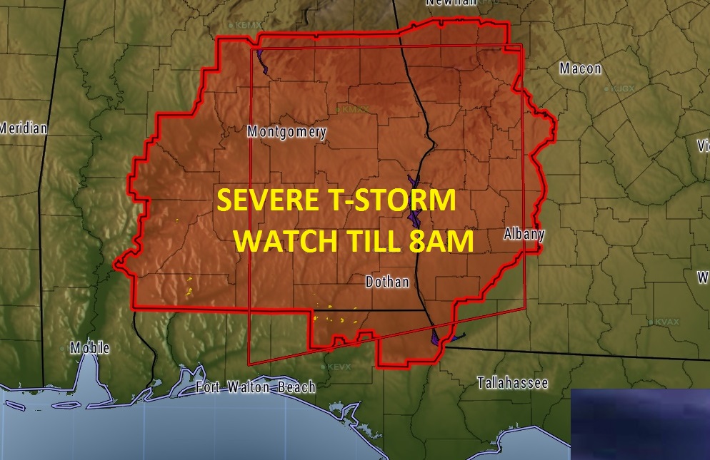
The First watch issued at 1:40AM on what will be a very busy day. Severe t-storm watch until 8AM. Several warnings as I type this. This is round 1 of severe weather, along a northward moving warm front. Tornado not zero with the early morning stuff, but relatively small. Round 2 will be behind the warm front in the “warm air sector”. In that mode the danger will increase dramatically higher.
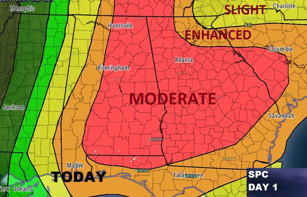
A dangerous set-up, with all the right severe weather ingredients coming together at just the right moment will lead to a significant severe weather outbreak across Alabama and the Southeast US today. The eastern 2/3 of the state of Alabama is under a Moderate Risk. That’s 4 out of 5 on the SPC scale. In that large area, destructive long-tracked tornadoes are possible, along with hail up to the size of baseballs, and damaging wind gusts 70+ mph. Making matters ever worse, will be the long duration of this event – through the day today, and well in through much of the evening tonight, until perhaps as late as 8 or 9PM. Here’s the updated map from SPC for today.
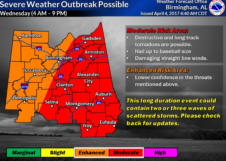
Here’s a graphic from NWS BMX issued in the afternoon on Tuesday which still has valid info on the threats involved and the time line.
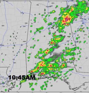
Here’s a few Future Radar snapshots, to give you a flavor of how random the storms will be, popping up all over the place. Rather than a line of storms, these storms will be individual, or what we call “discrete super cells”. Most of these cells that pop up today will be “rotating storms” requiring tornado warnings. The threat continues well after sunset tonight.
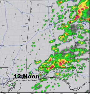
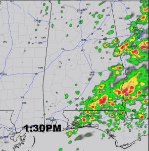
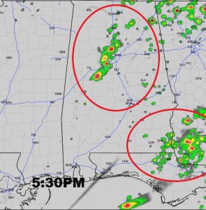
Several complicated factors are coming together. An abundance of instability and directional shear, in a rich, warm moist enviroment. Conditions are prefect for severe weather.
IMPORTANT INFORMATION: MAXWELL RADAR AS OF EARLY THIS MORNING IS DOWN. THAT’S A KEY RADAR FOR EAST ALABAMA. IT APPEARS IT MAY NOT BE AVAILABLE TODAY. WE WILL HAVE TO USE OTHER AREA RADARS INCLUDING BIRMINGHAM AND FT.RUCKER AND MOBILE… AN UNFORTUNATE REALITY.
Stay weather aware all day. Take this situation seriously. Don’t wait to go to your safe place. Go immediately. Our weather app will alert to watches and warnings for your location you will also be able to watch our LIVE stream from the Bluewater weather center. I’ll have video up at all times, but I will only comment with audio as needed. I’ll be multi-tasking and busy, but at times I will be walking you through tornado warnings and triage the most important storms. At times I will be on 8 radio stations LIVE while I am doing the LIVE stream. On the LIVE stream, I can show you radar, weather computer graphics, my camera, towercam, etc. You can view the LIVE stream on your APP, by going to the You Tube Tab. Take us to your safe place during a warning. Click on LIVE stream. OR, on your computer, go to richthomasweathernetwork.com. Click on LIVE STREAM. You will see the window at the top right. Bear with me today. I’ll busy guy trying to multi-task as much as possible. Godspeed to all of us.
-Rich
