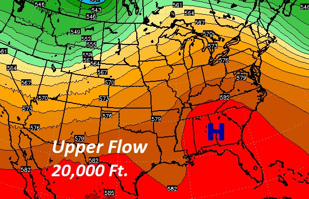
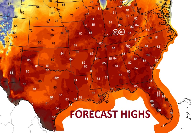
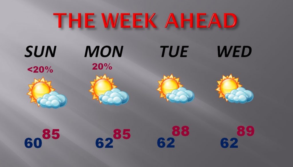
It’s one of the best Easter weekend forecasts in years..storm-free and warm. Highs in the 80’s and lows around 60, will be nearly ideal for trips to the Lake, Easter egg hunts, or backyard cookouts, or even a coastal getaway. Later this week, looks like we’ll see the first 90 degree temperatures of the Spring, well ahead of schedule. Above us, a big dome of high pressure in the upper atmosphere is responsible. It acts as a protective dome. Under high pressure the air sinks and heats. Sinking air also suppress rain chances.

TODAY: Sunny & warm. High in the mid 80’s. Low tonight 61. The warm air extends across the South and even up into the Great Lakes. Remarkable warmth for the holiday weekend.

EASTER SUNDAY: Sunrise at 6:14AM, 61 degrees. Mostly sunny and warm. High in the mid 80’s I can’t rule out a stray, isolated shower or thunderstorm in the afternoon ort evening. Rain chances generally under 20%.
BEACH FORECAST: A few degrees cooler, because of the onshore flow off the cooler Gulf water. Highs in the upper 70’s Mostly sunny through then weekend. East to SE wind 10-15 will gust to 20 at times. Can’t rule out a stray showers somewhere Sunday afternoon. The Gulf Water temp. is 72 at the buoy 12 miles south of Orange Beach.
NEXT FEW DAYS: Isolated showers possible Monday. Most will stay dry. Very warm temperatures continue. In fact, by Thursday & Friday we could be near or above 90 for the first time this season.

NEXT IMPORTANT FRONT: The next “big deal” front arrives sometime next weekend, April 22 or 23rd. It will arrive Saturday, if your believe the GFS model, or Sunday if you believe the Euro model. Showers and thunderstorms will accompany the front. A significant cool-down is expected behind the front. Too early to say if there will be severe weather with the front.
—
Have a safe wonderful, Happy Easter weekend. I’m here in Orange Beach, but I will be back with your next video update, first thing Monday morning, online by 5.
Rich
