Good Morning! The upper Low which has haunted us over the weekend will exit stage right today. Very interesting weather week for the nation. A lot going on, including 2 fronts in our future that could bring strong, possibly severe storms to the state. And, soaring temperatures later in this week. Plus, a long-term drought outlook you’re not going to like. With your toast and coffee this morning, here’s your 2 minute personal weather briefing.
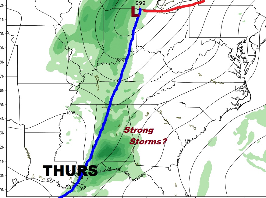
Next storm system that will bring rain to the state will be on Thursday. Some of the storms could be strong as this front moves through. We will continue to monitor.

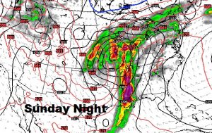
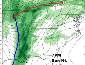
A rather potent frontal system will affect the state next Sunday night. It is certainly a good bet that this front may bring a severe weather threat to Alabama and surrounding states. We will continue to monitor it.


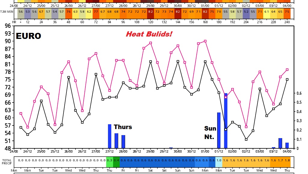
The Euro model shows a very active and interesting week. Storm system Thursday and Sunday night with soaring temperatures Friday through Sunday.

