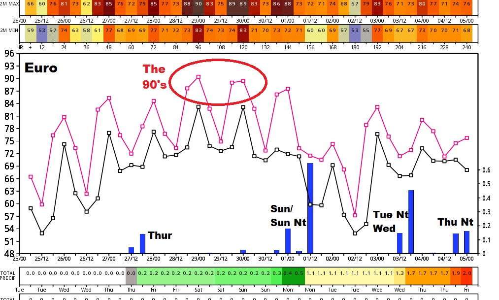
Good Morning! We are headed into a very active period over the next 10 days, with perhaps 4 storm systems. Some of these will include a severe weather threat. ‘Tis the season for that. The fringe benefit, though will be some much needed raindrops which hopefully will keep us from slipping deeper into a drought. And, the 2 hottest days of the year so far are on the menu for later this week. Here’s a fresh serving of your latest weather to get your Tuesday started.
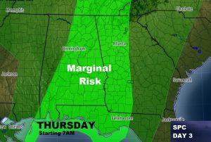
Next storm system arrives perhaps pre-dawn Thursday, and sweeps across the state. Storm Prediction Center has placed much of the state in a Marginal Severe Risk, with damaging wind gusts the main threat.
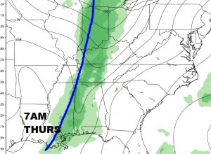
The second important frontal system approaches the state by Sunday evening/Sunday night, with again, the threat of strong to severe storms. Here’s a snapshot of 2 global models: the GFS and the Euro, on Sunday night.
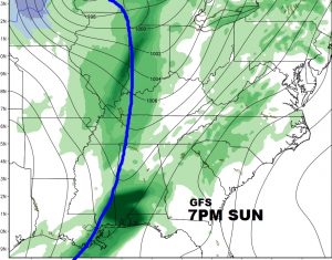
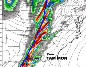
The fringe benifits, we hope, will be some decent rainfall totals, especially from the Sunday night system. 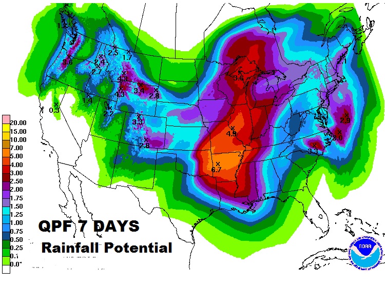
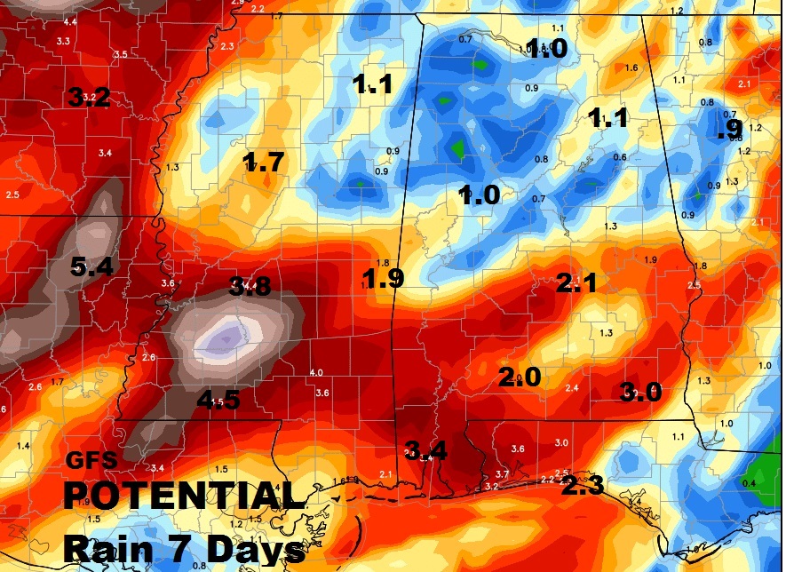
The Euro Model shows a very active next 10 days with potentially 4 storm systems
