Ongoing severe threat early morning, as I prepare your video. We’ll walk you through the rest of the day. April will end on a very hot note, especially Friday and Saturday. It will feel like summer. All eyes on the next significant storm system which will bring another severe weather threat to the state by late Sunday and Sunday night. A lot of important info to share with you this morning on your personal weather briefing.
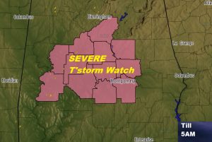
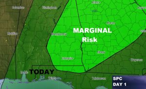
This is the early morning severe thunderstorm watch which is ending at 5. While the Marginal Severe weather risk continues eastward through the rest of the morning into the afternoon across east and SE Alabama.
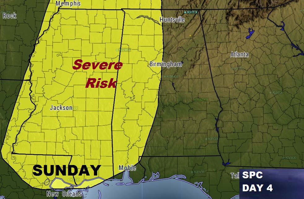
Next potent storm system will affect Alabama beginning late Sunday night with yet another severe weather threat edging eastward into the state.
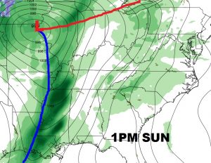
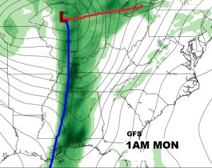
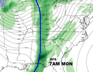
This preliminary Sunday Severe Risk from SPC will likely be expanded eastward in the coming days.
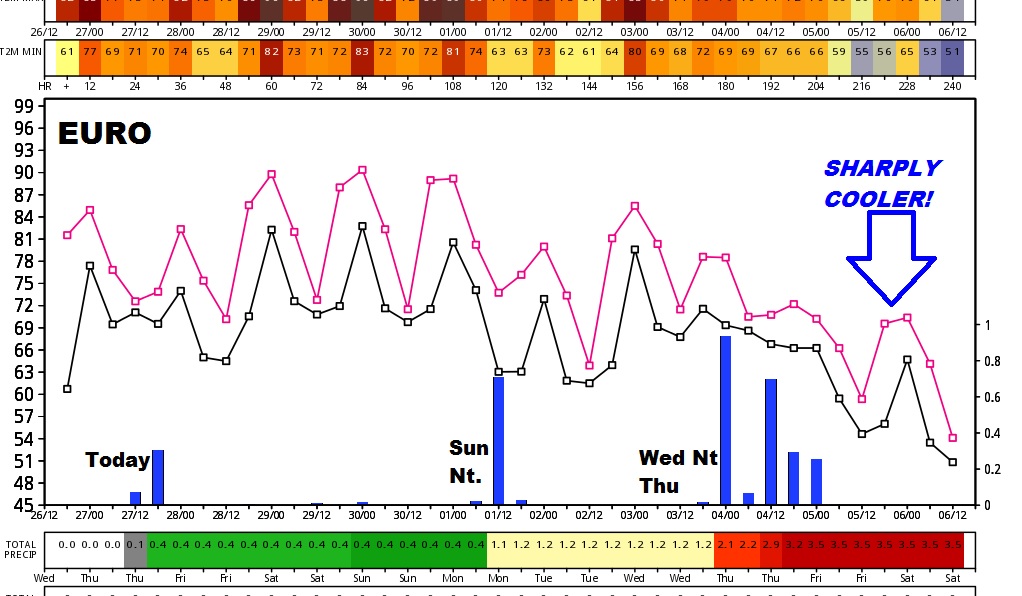
Looks like it could be a wild ride next 10 days according to the Euro model, with 3 storm systems followed by a sharply cooler episode.
