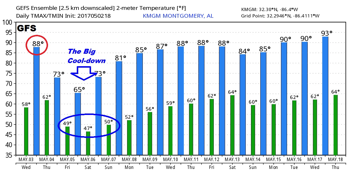
Good Morning! Another potent storm system on the way, which like the last few, arrives in the middle of the night. I’ll have the updated severe weather outlook, future radar, to give you a sense of timing, plus the potential rainfall. We’ll update the big temperature plunge that follows, and I have the updated weekend forecast for here and the Gulf Coast beaches. Lots of good information on your Wednesday morning personal weather briefing.
Warm today. Potent storm system to the west begins to affect the state late tonight.
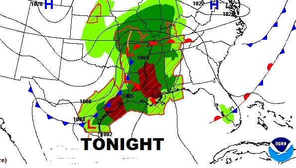
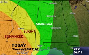
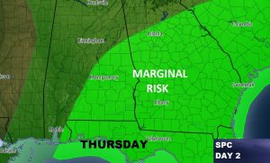
Another Storm System arrives in the pre-dawn hours tomorrow. SPC has a severe weather risk, through 7AM Thursday covering much of the western half and southwest Alabama. The Marginal Risk shits eastward to central and southeast Alabama during the day Thursday.
Future Radar snapshots from the hi-res NAM model gives you a sense of timing. It clearly shows the most intense storms will be in south Alabama through the overnight and early morning hours.
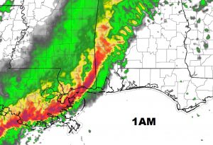
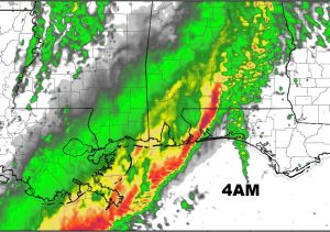
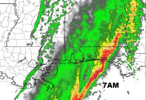
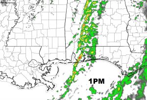
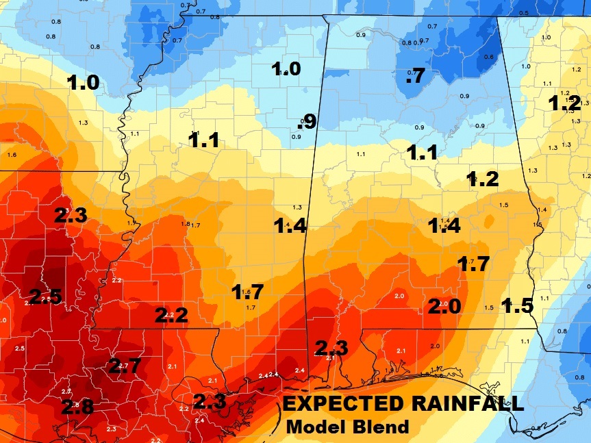
Rainfall will be heaviest across the southern counties. Here’s the model blend QPF.
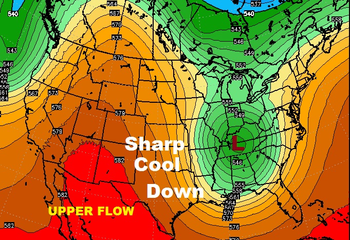
Intense, sharp trough in the upper atmosphere by late Thursday/Friday, allowing drastically cooler air to flood into Alabama.
The GFS temp guidance for the next 16 days.
