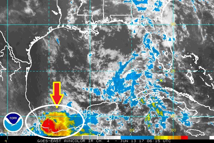
Good Morning! Routine summer pattern today. Hot, humid, random scattered storms. I have the latest Future Radar. It appears our rain chance will peak later in the week. I’ll pin down which days have the best rain chance, and I’ll have the latest on the Father’s Day weekend. Plus, I’ll update you on some future tropical trouble in the Gulf. Here’s your 2 minute Tuesday morning personal weather briefing.
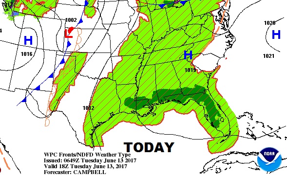
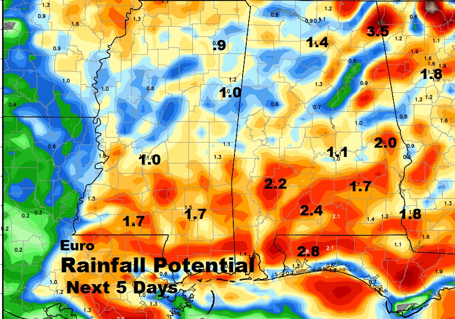
No surprises. More random scattered PM storms around today, and every day this week and through the weekend. The storms reach a peak in the afternoon & evening hours, and generally start to fade out after dark. Not everybody gets wet. The days with the higher rain chance this week appear to be Thursday & Friday.
Keep in mind when you look at this QPF chart…localized thunderstorms can produce much higher and rather excessive rainfall totals.
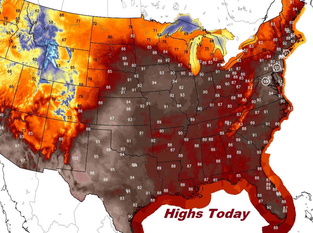
Excessive heat covers a huge part of the nation again today. More record highs are expected in the Northeast.
We continue to monitor possible future tropical developments in the Gulf. The global models are now coming into better agreement that this may be more of a problem for the western and SW Gulf later in the month.
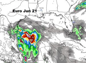
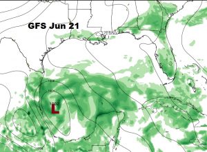
Activity from a Pacific Tropical storm is now edging into the SW Gulf.
