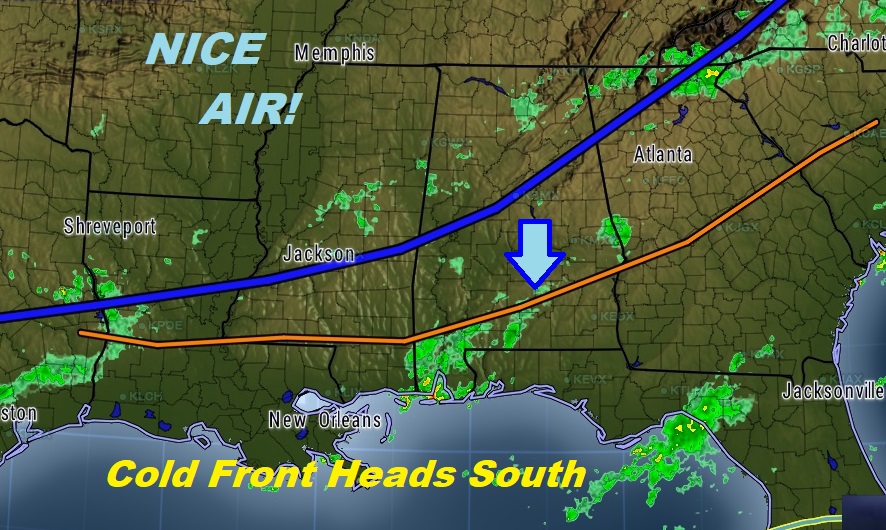
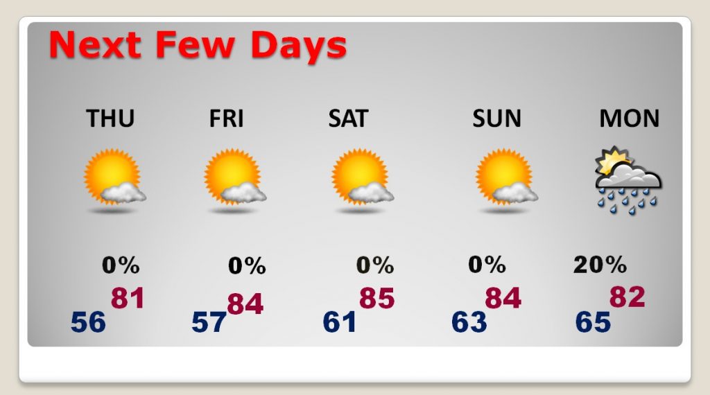
Special WEDNESDAY VIDEO UPDATE: HURRICANE IRMA’S US THREAT (5:00 AM 9/6/17): The Irma news is both dramatic and compelling as we continue to wonder about it’s future impact to the United States. Sadly, overnight, it made it’s first direct impact with a tiny Caribbean Island. The models are starting to come in with better agreement now about the future of this monster. I’ll show you the latest track. A cold front is moving southward in our state. Many had a stormy night. I’ll tell you what to expect. We have a couple of nice cool nights ahead. Lots of great information on this Special Edition of your Wednesday morning personal Weather Briefing.
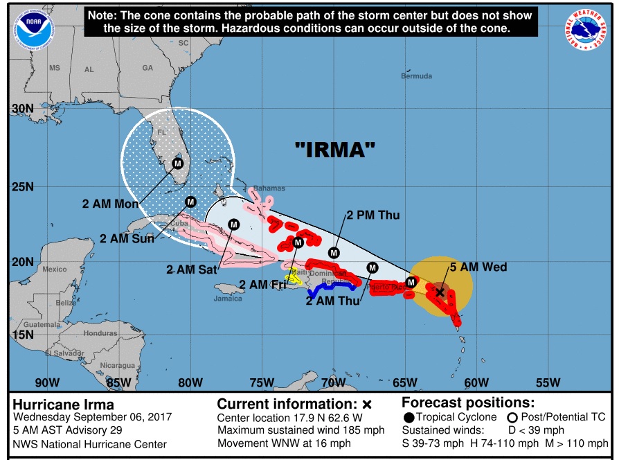
New NHC cone shifts slightly east. Now covers much of Florida. Irma comes ashore as a major Hurricane this weekend. Winds still 185 right now. Virgin Islands and Puerto Rico in the path today.
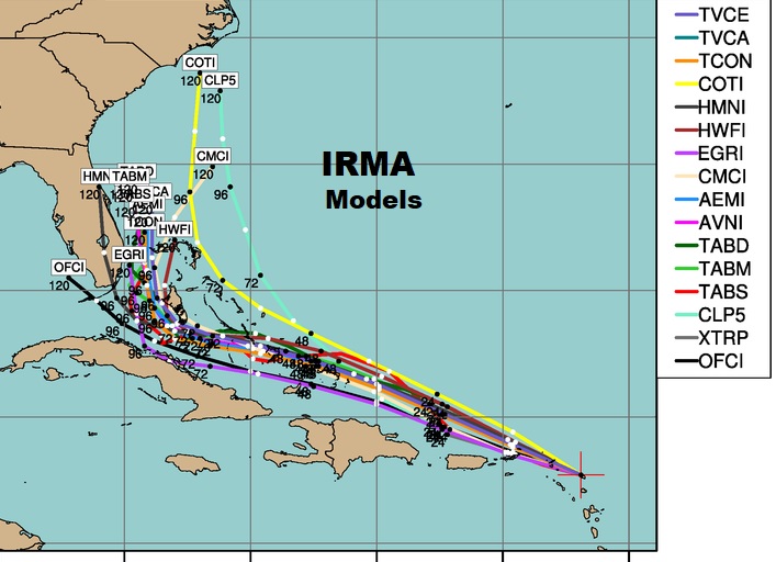
Model trends continue to nudge slightly eastward.
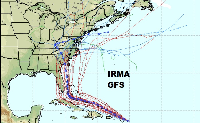
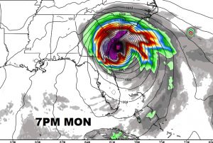
Here’s a few snapshots of the highly respected Euro model.
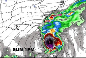
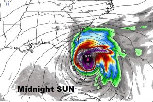
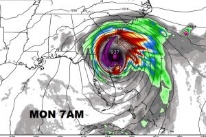
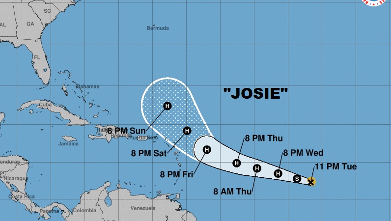
Josie is a Tropical Storm which could become a major hurricane in 72 hours.
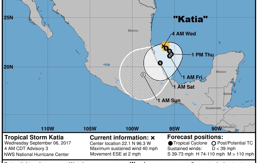
Katia is a new Tropical Storm in the SW Gulf just born.
For us a cold front brings a risk of showers and thunderstorms today, mainly before Noon, then much cooler nights ahead.
