As Cat 4 Irma causes catastrophic conditions as it moves up the western Florida coast today, on this Special Video Update, we will focus on the expected Alabama effects as Tropical storm force winds affect the state tomorrow and tomorrow night. Please take time to watch this important video update.
Here’s the forecast cone from NWS as Cat 4 Irma terrorizes Florida with catastrophic hurricane conditions today and tonight.
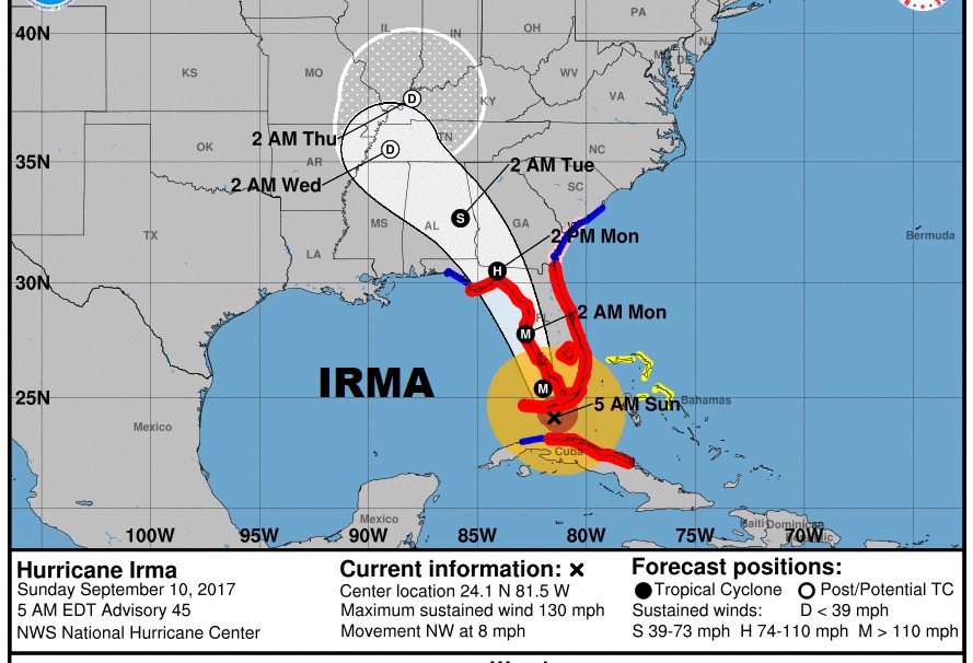
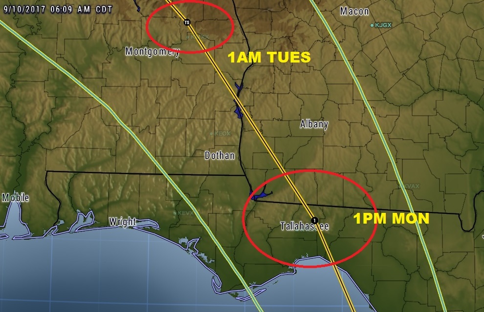
At 1PM tomorrow, the NHC cone shows a still Cat 1 hurricane about to cross the border into SW Georgia, moving northwest reaching near Lake Martin as a Tropical Storm late Monday night at 1AM.
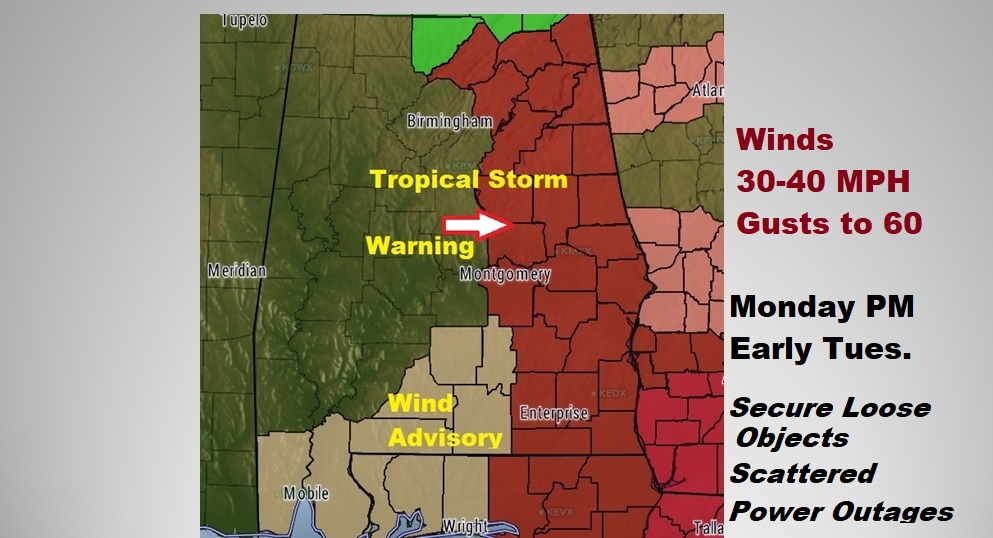
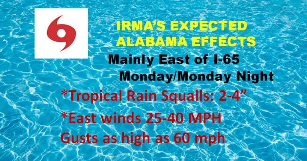
Tropical storm Warning in effect for the eastern part of the state, generally from Montgomery and I-65 eastward Monday afternoon and Monday night for sustained winds of 25-40 mph, with gusts as high as 60, which will bring down tree limbs and trees and cause scattered power outages. Please secure loose objects around the home.
Here’s the forecast map positions from the well respected Euro model from Monday through Tuesday.
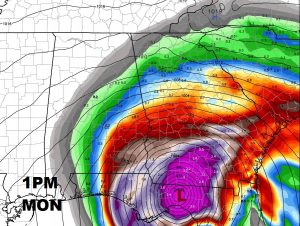
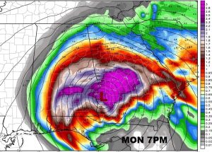
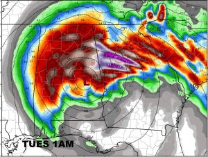
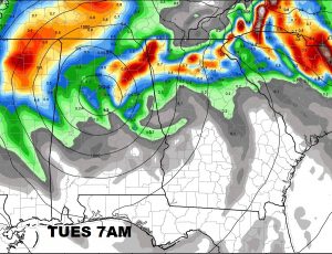
More Updates throughout the day on our Weather App, Facebook and Twitter. Stay weather aware. A complete video update tomorrow morning by 4:45AM.
Keep the people of Florida in your thought ans prayers.
–Rich
