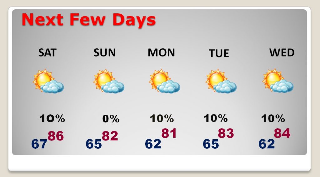
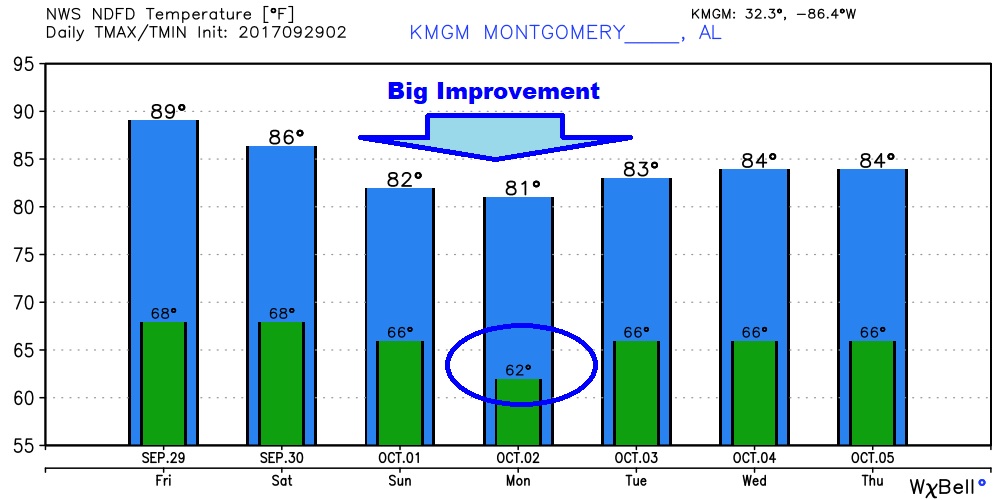
Yesterday, with our high of 95, was the 13th 90+ day in a row. While today won’t be quite as hot, I think we will be near 90 again, unfortunately. But, hang on! The nicer air is on the way. I’ll update the new numbers for the weekend and beyond. It will feel nicer as the weekend progresses. Be patient. Any rain in our future? It’s getting dry. I’ll show how the tropics might help us out in the not too distant future. Here’s your Friday morning personal weather briefing.
Yesterday’s front didn’t affect our temperatures hardly at all. We will still be 90 today, but the second front tomorrow is the front which will make a much bigger difference.
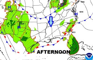
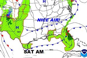
The two NICEST days will be Sunday and Monday. The coolest morning will be Monday AM. The rain chances are small but not zero… Moisture should mostly be confined to the Gulf.
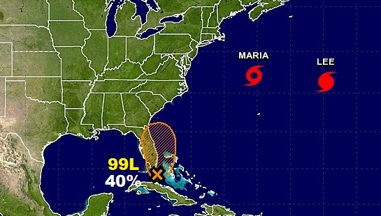
National Hurricane Center is keeping tabs on Invest 99-L near Florida. Could this system become a depression over the weekend?
The GFS model shows the system first moving off the NE Florida coast, and then perhaps backing up and moving west into the Gulf.
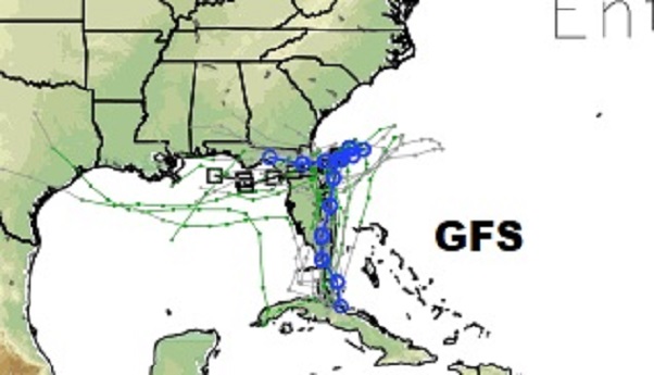
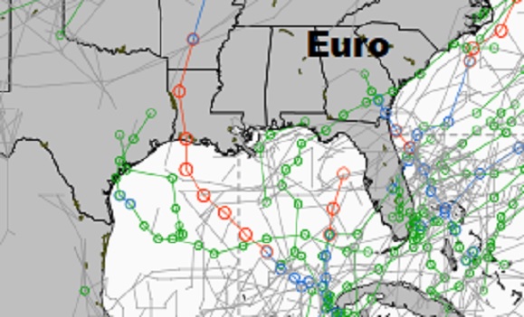
We will have to watch the west Caribbean and the Gulf for the next 10 days and beyond. The Euro model ensemble members show multiple possibilities from future tropical entities. Stay tuned.
