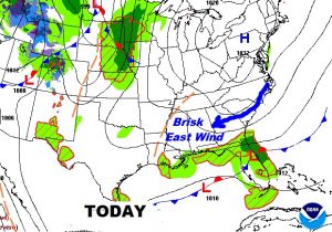
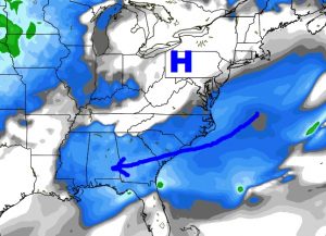
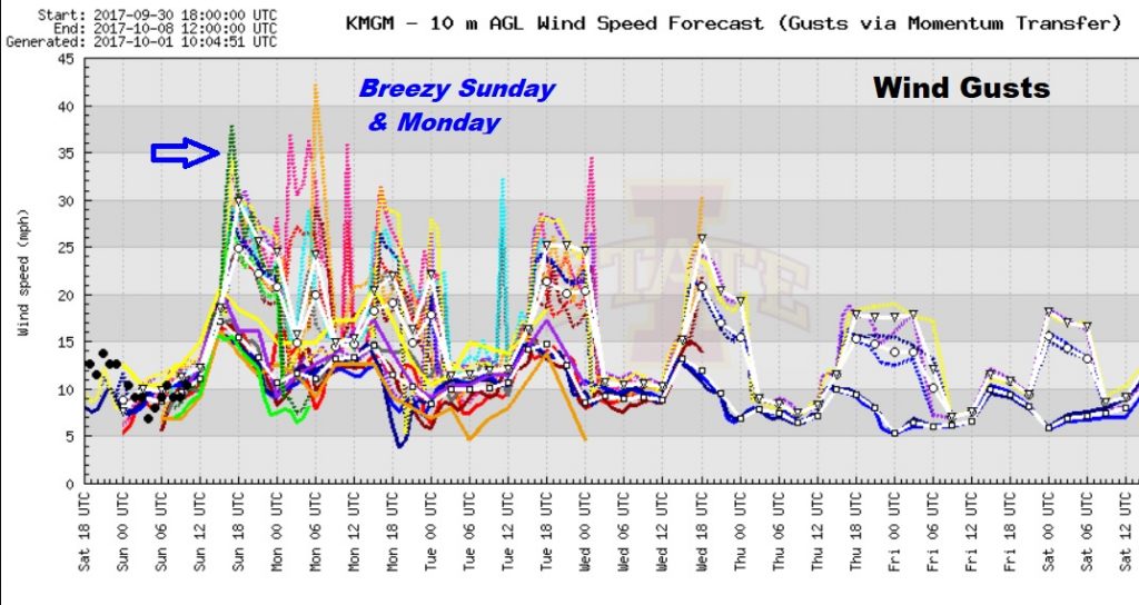
Welcome to October! Finally, I can say, today will be a cooler day, without 90° temperatures. Brisk easterly winds at 10-20 mph, could gust as high as 30. Our high will be near 81 today and near 80 on Monday, with low to mid 60s tonight. This should feel great after 15 days of late-season 90+° temperatures. A big high over the eastern US, combined with low pressure in Florida will funnel that easterly breeze into our state.
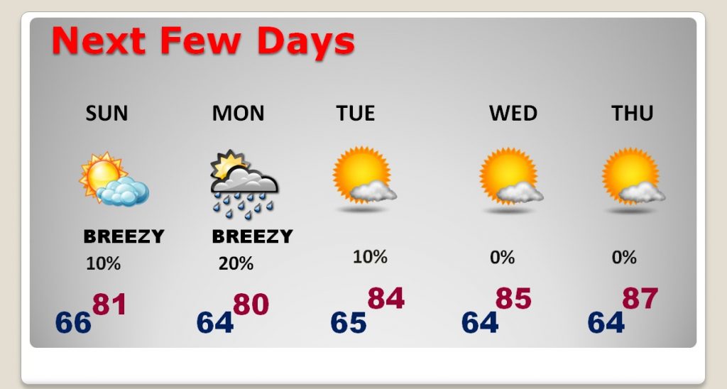
NEXT FEW DAYS: A little tropical moisture may brush by the state tomorrow. I have a small chance of rain in. Otherwise, we should be mainly dry next few days. Temperatures will warm up again late week.
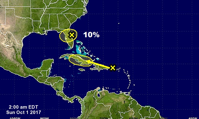
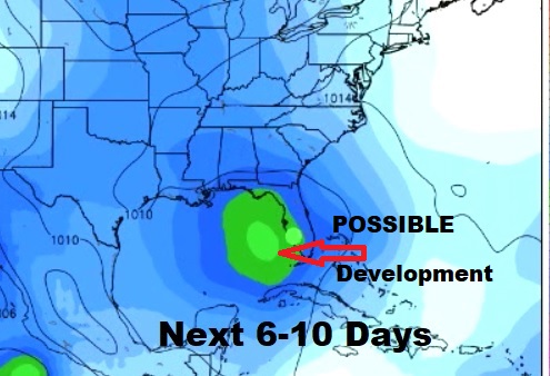
TROPICS: The two systems NHC is currently monitoring, in Florida and the Caribbean, are weak and probably won’t amount to much. But, the global models continue to hint at future development in the Gulf of Mexico in the next 6-10 days, perhaps as early as next weekend. In October, Gulf systems like to race northward. So, we’ll be watching. Wednesday is the Opal anniversary.
Have a great Sunday..first day of October! Enjoy the breeze and the lower temperature. I’ll have a full video briefing ready for you tomorrow morning, bright and early at 4:45AM. We’ll definitely take a closer look at future tropical development and trends for the next 2 weeks.
-Rich
