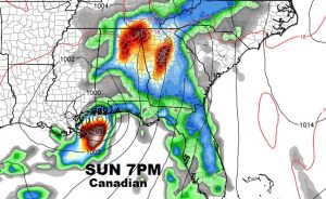
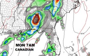
..Tropics Take Center Stage again… We could have a tropical storm or perhaps a Hurricane in the Gulf by this weekend. But, what track will it take? Very complicated scenario form the models to sort out. On this video, I’ll tell you what we know now. We’ll look at possible scenarios and the time line. Very important video this morning. Hope you have time to watch an share.
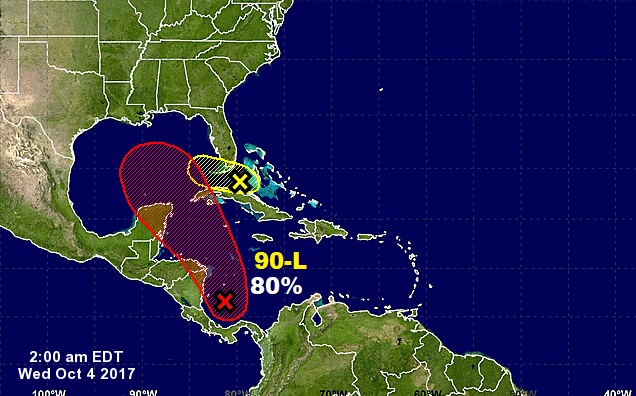
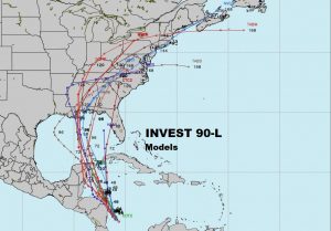
The Spaghetti models are spread out from Louisiana to Florida. Some left, some right, some in the middle.
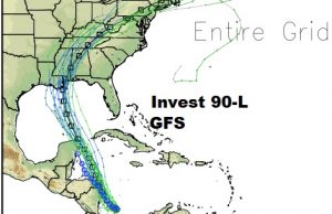
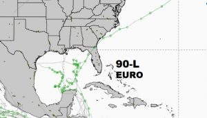
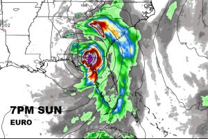
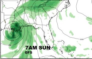
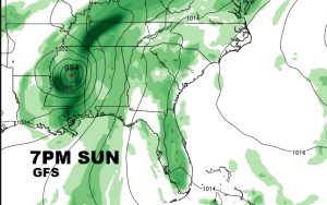
The TWO Key Global models: The GFS is farthest west (or left). It takes the storm into the LA coast. This would have a far bigger impact on us. The Euro model, which has had an excellent tropical track record in 2017, takes the storm farther east toward Florida. This would have less of an impact on us. The important player is an approaching cold front which will be the mechanism that steers this storm. Timing is everything.
Here’s the EURO.
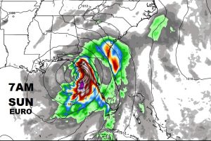
Here’s the GFS. A significant difference.
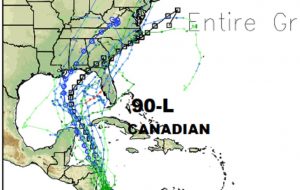
The Canadian model, by the way, splits the difference.
