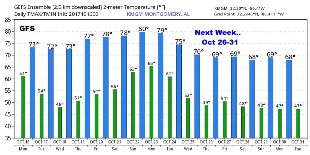
Good Morning! This is the day. We’ve been waiting for a long time. The cold front which was sweeping through the state overnight reaches the coast later this morning. Total change of reality. Jackets ready? You’re going to need them tonight. On this video, I will update the numbers on some cool days and chilly nights in the week ahead, and we’ll preview the weekend and look ahead to another cold front just a week away. With your toast and coffee this morning, here’s your Monday morning personal weather briefing.
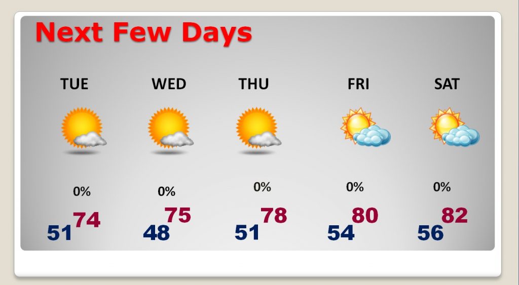
The front should be all the way down to the coast by shortly after Dawn as the much cooler air funnels into the state. High today low to mid 70’s Brisk north winds at 10-20 mph will make it seem cooler.
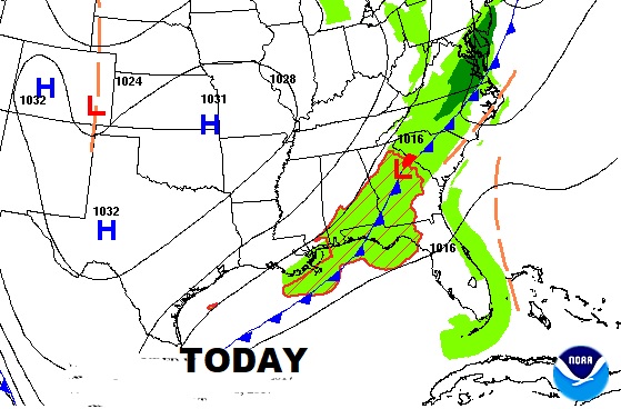
Jackets ready? You are going to need them at night and in the mornings. Coldest morning will be Wednesday morning.
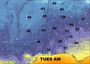
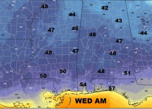
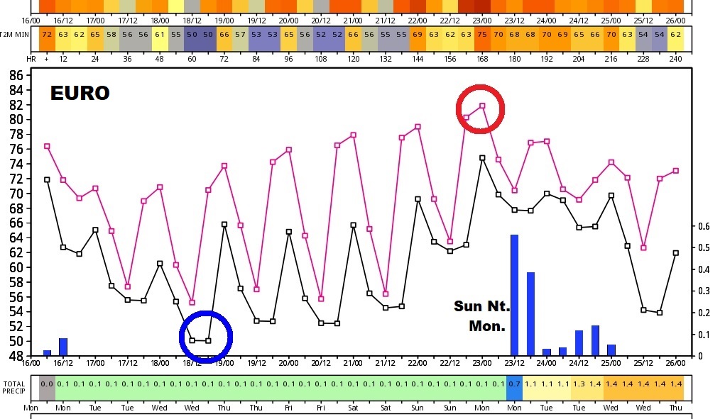
Euro Model shows the coldest morning as Wednesday morning, warmest day Sunday. Another cold front brings scattered showers Sunday night and into the following Monday morning (Oct.23), followed by another cool down.
GFS Temp model guidance out 16 days…
