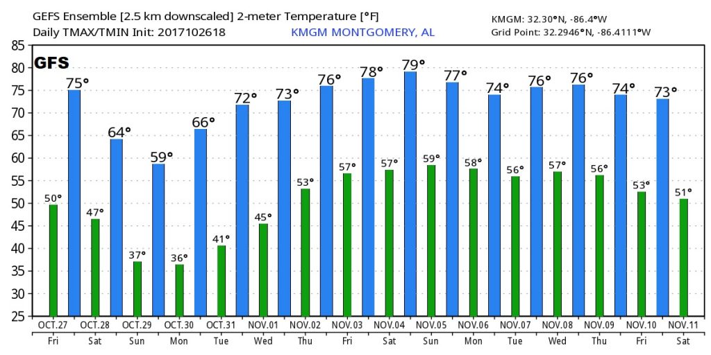
Happy Friday! Get ready for the next stop on our Temperature Rollercoaster as we are about to take a major plunge downward, as the coldest air of the season funnels into the state. Future Radar will show you the timing on the rain arrival and when it will exit tomorrow. New crazy numbers on the temperature projections. And, I’ll show you how the temperature will zoom back upward on what should be a sensational forecast for the Alabama National Fair.
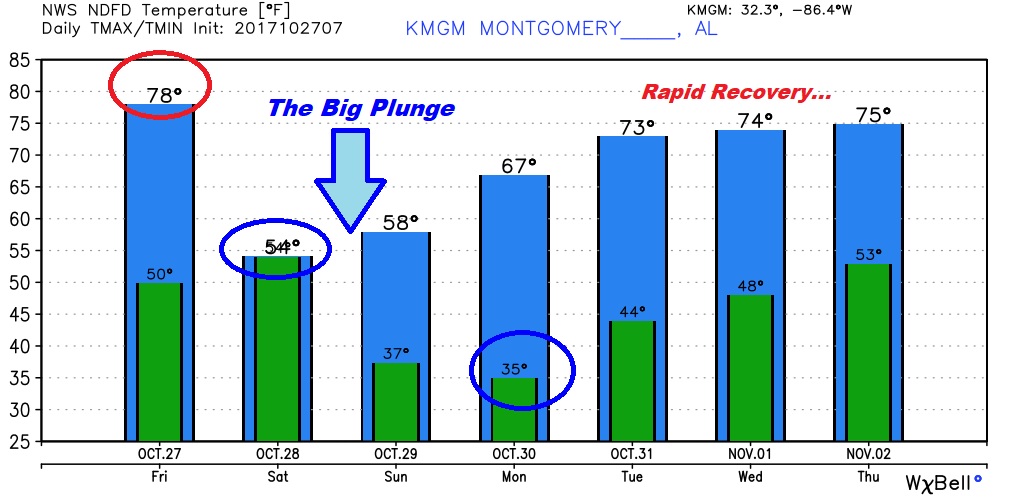
Warm day today as the fair begins with highs in the upper 70’s The Cold front in the Midwest now, reaches Alabama late tonight and sweeps through the state in the overnight hours with rain out ahead of it.
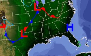
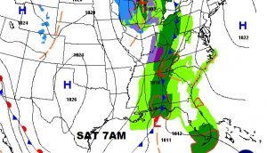
The main rain are stays mostly west of us this evening.
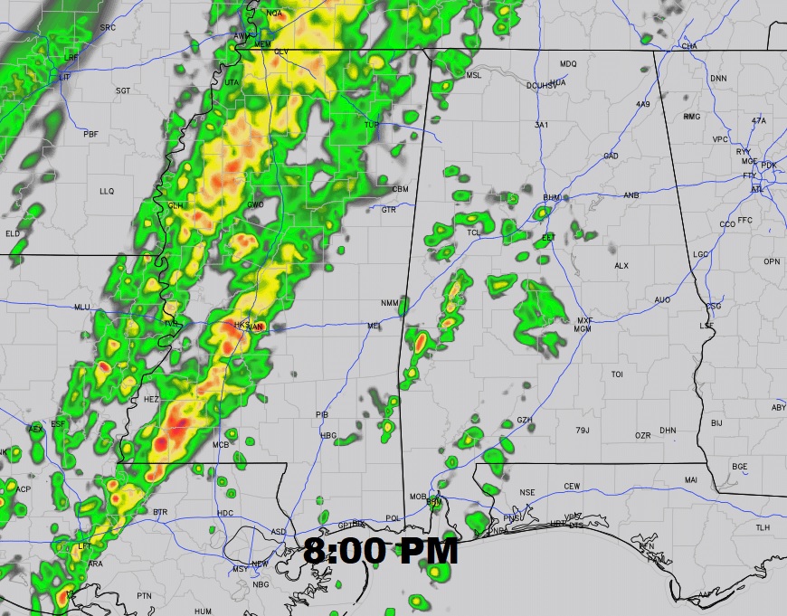
Future radar shows how the rain progresses eastward during the day Saturday. Best chance for most iof us will be morning and mid-day.
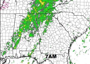
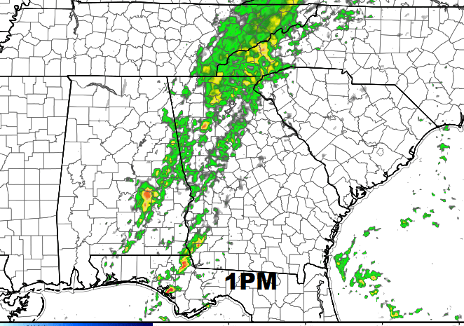
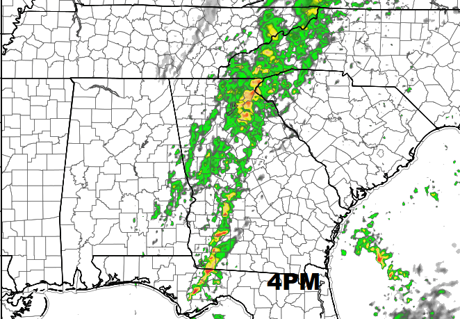
Tomorrow will be one of those weird days when the high and lows are about the same. Falling temperatures through the day Saturday. A very brisk weekend. 30’s on Sunday and Monday morning.
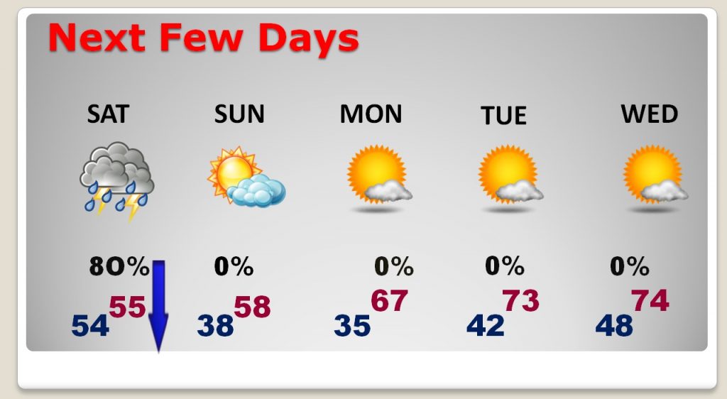
Coldest morning will be Monday morning.
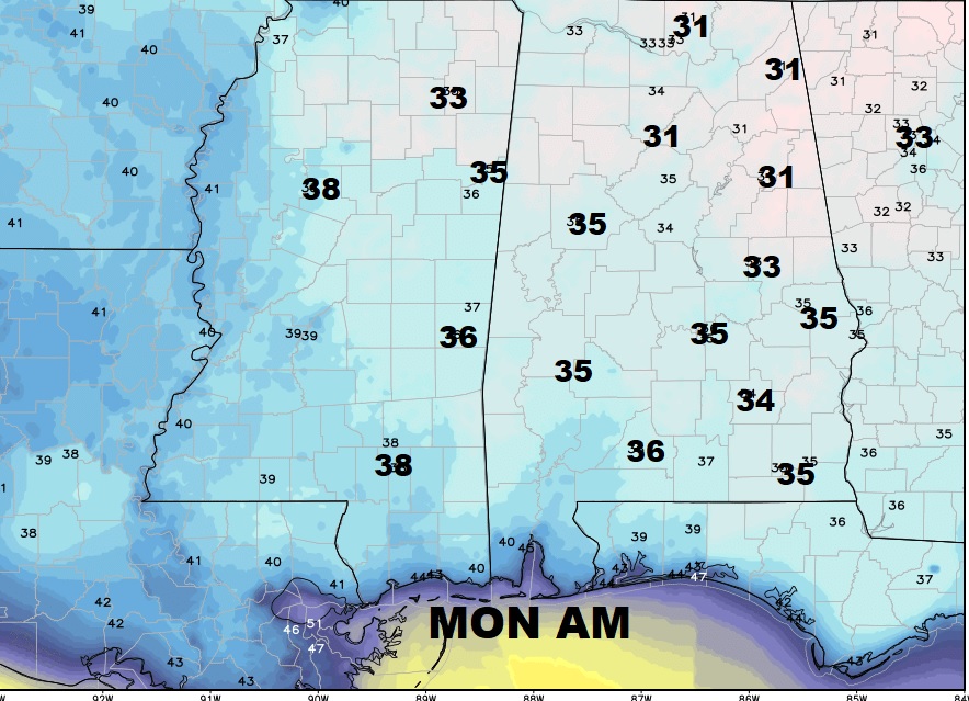
After the weekend temperature plunge, we will see a remarkable recovery next week. Great weather for the Alabama National Fair.
The GFS numbers for the next 16 days
