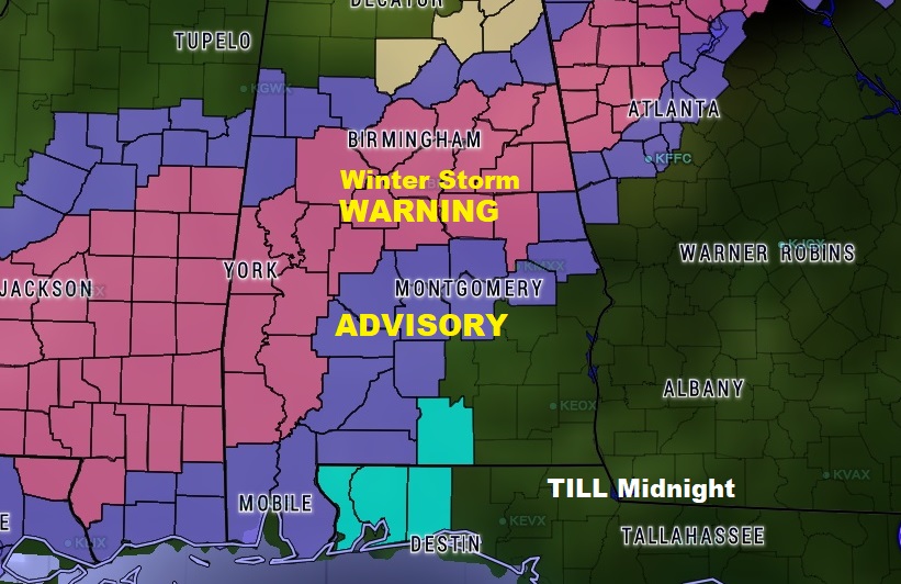
UPDATE: Winter Weather Advisory Extended farther south in central Alabama, now including: Lowndes, Montgomery, Macon and Lee until Midnight. Up to 1″ of snow could accumulate.
...WINTER WEATHER ADVISORY IN EFFECT UNTIL MIDNIGHT CST TONIGHT...

* WHAT...Snow expected. Plan on slippery road conditions,
  including during the afternoon commute. Total snow accumulations
  of up to one inch is expected, with the highest amounts on
  grassy and elevated surfaces.

* WHERE...Lowndes, Montgomery, Macon and Lee Counties.

* WHEN...Until midnight CST tonight.

* ADDITIONAL DETAILS...Be prepared for reduced visibilities at
  times.
Parts of Alabama are under a Winter Storm Warning. Many other counties are under a Winter Weather Advisory. On this important video, I’ll show you the expanded Warning Map. I have updated Future radar, and possible accumulation map. PLUS, the latest on the Coldest weekend of the season, so far, by far. Feel free to share this post. We’ll talk winter weather this morning on your Friday weather briefing
The Winter Storm Warning and Winter Weather Advisory counties was greatly expanded early this morning. Warning area: 1-3″ of snow. Advisory area: up to 1/2″ accumulation, mainly in grassy areas and elevated surfaces.
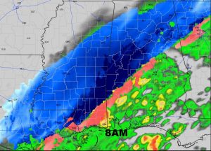
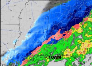
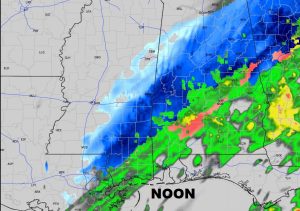
Hi-res Future Radar (HRRR) shows the Mixed precip in pink…and snow in blue. The dark blue is heavier snow.
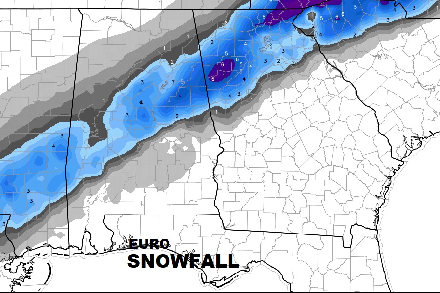
The Euro model suggests heaviest snow accumulations will be in the higher elevation of East Alabama and into West Georgia
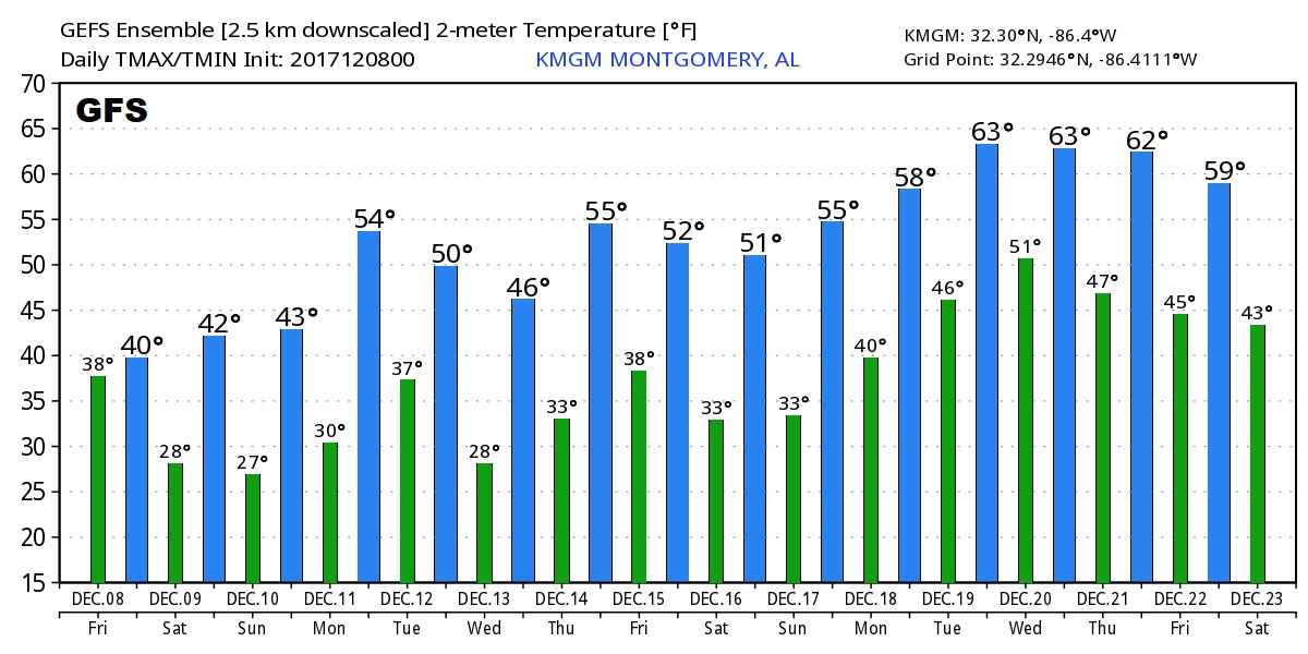
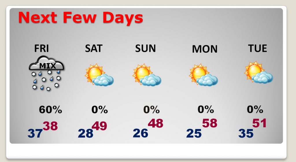
The COLD next few days. A little recovery by Monday afternoon, before it turns colder again Tuesday.
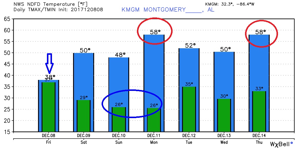
The GFS 16 day temp trend shows some later in the month temperature moderation, into the start of Christmas week.
