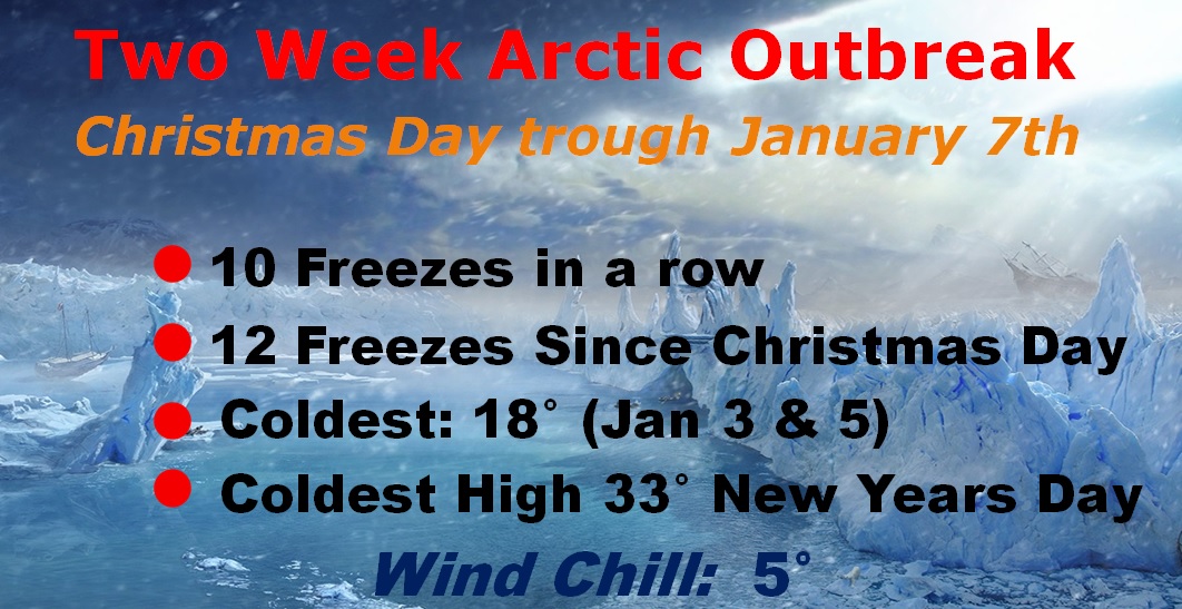
Good Morning! A big pattern change is underway, starting with a storm system today. A wet Monday ahead. I’ll show you future radar. Plus, temperatures skyrocket into the 60’s this week, before a late week storm system. And, what think about another Arctic temperature plunge next weekend? We have much to talk about, on your action-packed Monday morning personal weather briefing.
For most of us, just RAIN today. In extreme east, and NE Alabama into Georgia, including Atalanta, Winter Weather Advisory through mid morning for the threat for an icy glaze on roads, and elevated surfaces due to a wintry mix including freezing rain. Travelers heading to the big game…beware.
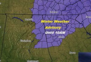
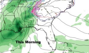
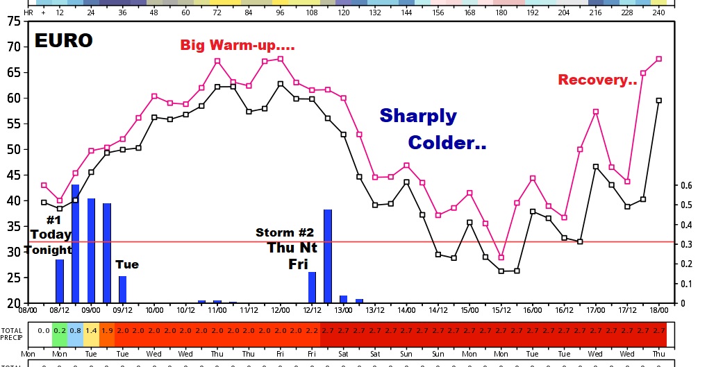
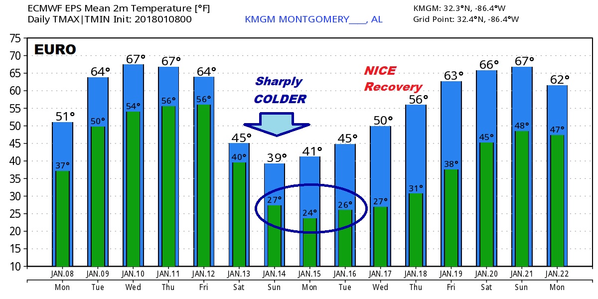
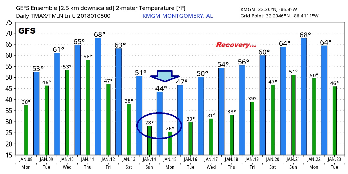
Big warming trend this week, followed by a let week storm system, and then, yet another arctic plunge after that leading into this weekend.
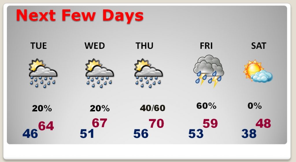
The Global models, clearly depict the twists and turns in the forecast over the next 10-15 days. Notice how, after the weekend Arctic set-back, we start a big warming trend, which hopefully leads to a pronounced and maybe long term January Thaw. ?? We hope so….
Wave goodbye to that awful prolonged two-week Arctic Outbreak, which began on Christmas Day.
