Good Morning! How about a warming trend for about 3 days? We deserve it. It may not last long, though. I’ll show a potent storm system which will bring more big changes by the end of the week. Another Arctic Surge on the way? Yep. I’ve got some new numbers to show you as temperatures plunge again this weekend. But, stay till the end of the video. There’s good news on the not too distant horizon about a January Thaw.
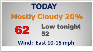
Today, as the rain departs the area, will be mostly cloudy, but warmer. When’s the last day we could look forward to 60 degrees or above? It was before Christmas! Most of us stay dry today.
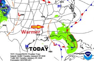
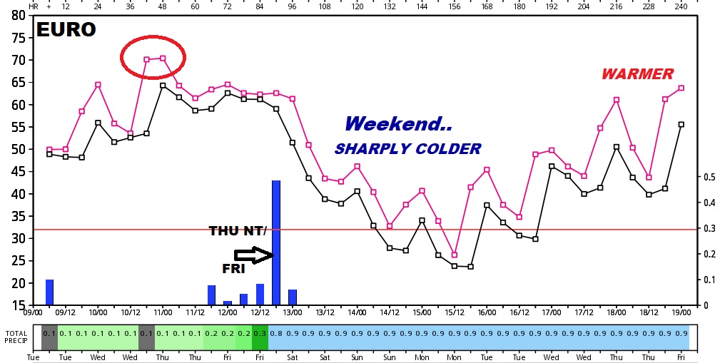
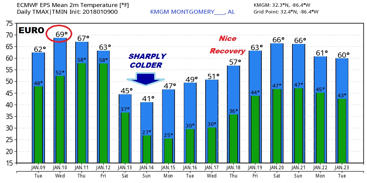
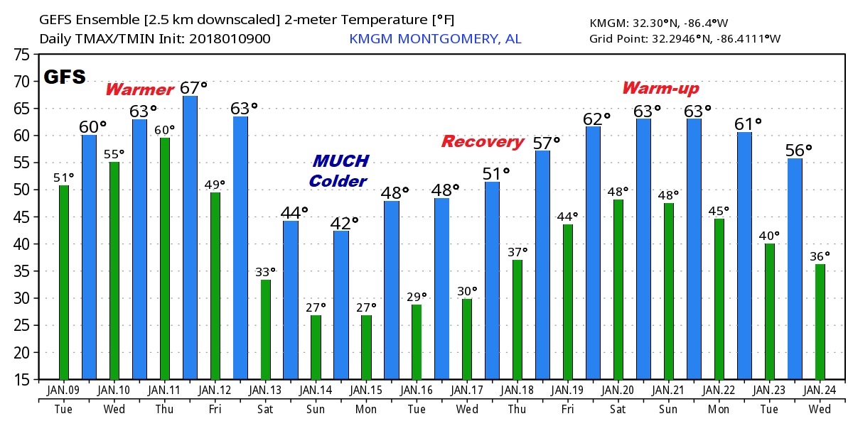
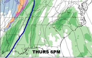
Our Warming Trend continues tomorrow and Thursday before the next front brings showers and maybe some thunderstorms Thursday night and Friday. Friday will be a windy & wet day, followed by sharply colder air for the weekend.
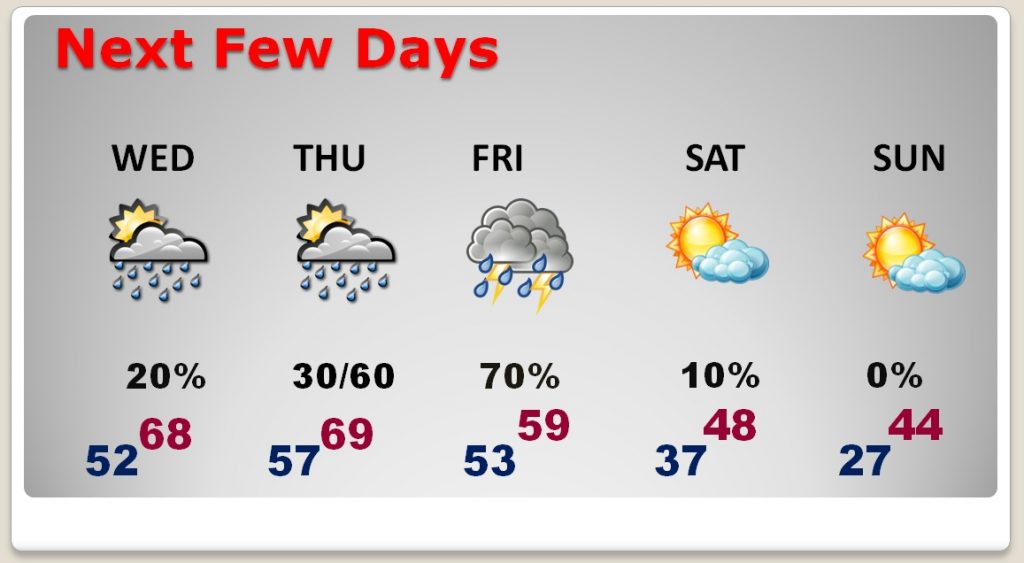
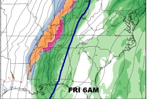
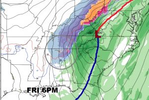
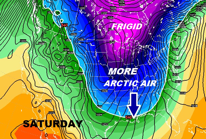
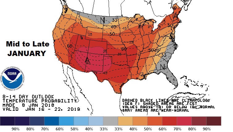
The Global Models shows all the ups and downs over the next 10-15 days. This next Taste of the Arctic will be relatively short…not prolonged like the last time. Then, recovery will begin leading to a January Thaw.
