Good Morning! Many of us are in the teens again this morning. But, on this video, I am pleased to bring you news of Warmer Days Ahead. Wait till you see the weekend numbers. That next storm system has slowed down a little bit. But, will it bring us enough precious rain drops? I’ll show you the new, disturbing Drought Monitor map, with some bad news for Alabama. Plus –A look ahead. How long will the “Thaw” last, before Old Man Winter screams back into town? Here’s your Friday morning personal weather briefing.
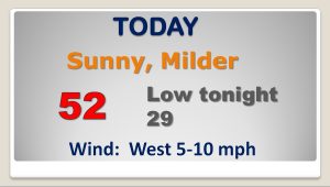
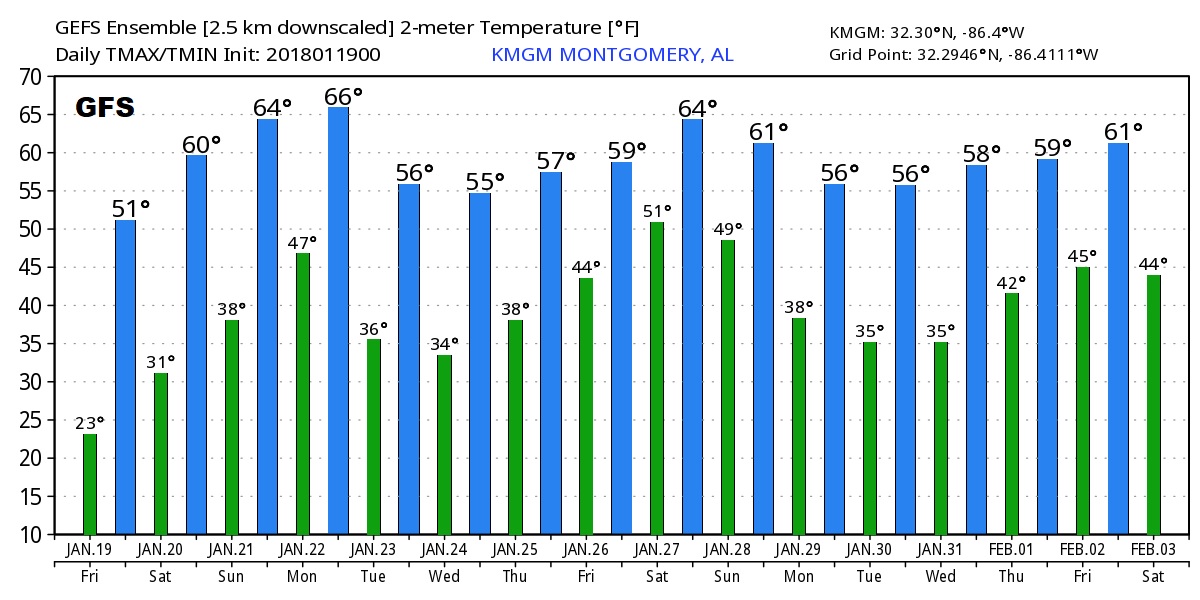
Today will be a day of moderation as we actually climb above the 50° mark. Another freeze tonight, though.
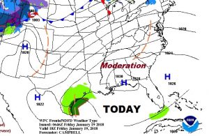
Bog weekend warm-up ahead. Monday storm system. Not much cooling behind the Monday front.
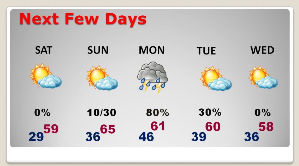
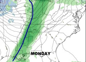
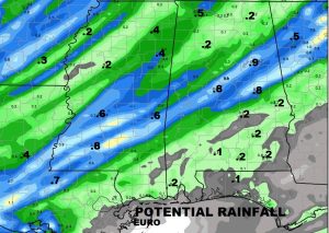
Monday storm system will bring showers & thunderstorms to the state, but apparently not a lot of rain.
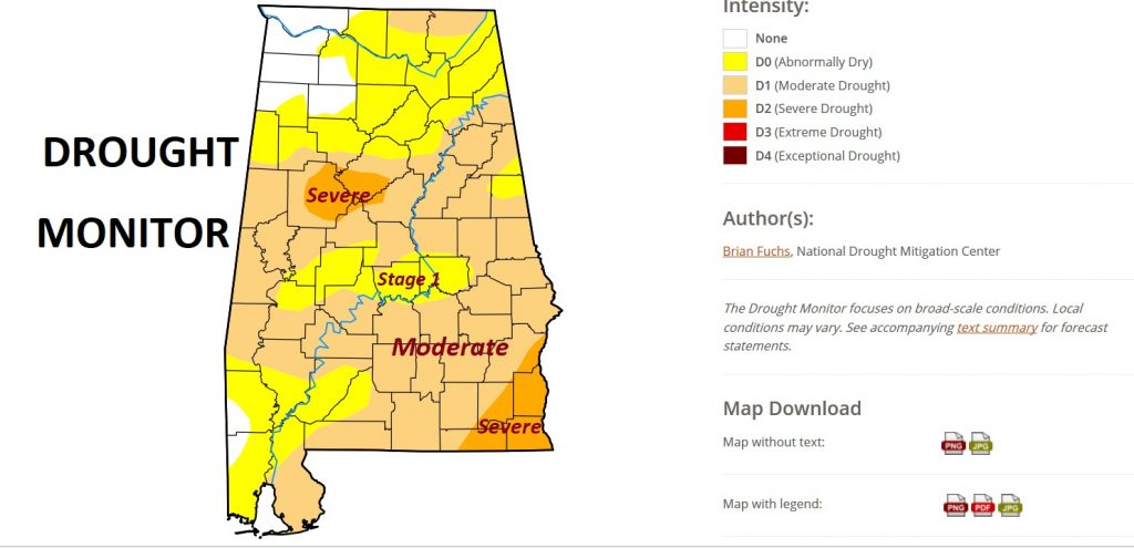
Disturbing new Drought monitor map, showing the Moderate Drought has expanded and parts of the state is in a Severe Drought now.
The Global models advertise that Cold Arctic air will stay away from the state for at least two weeks…maybe more.
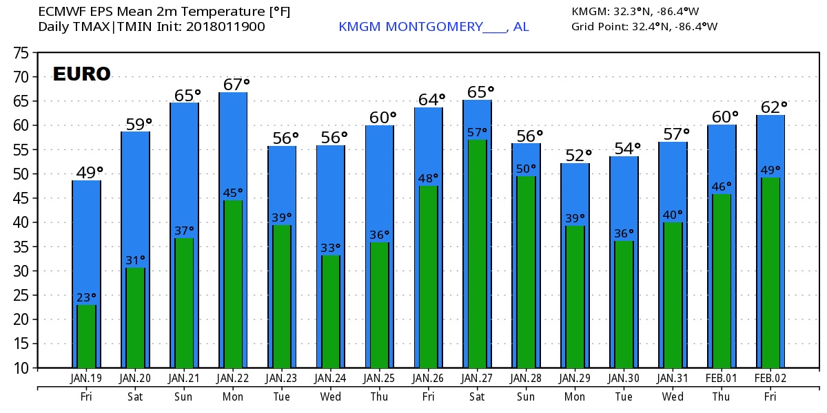
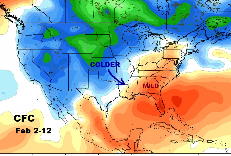
The CFS has us pretty mild until roughly February 12th. ALL bets are off after that.
