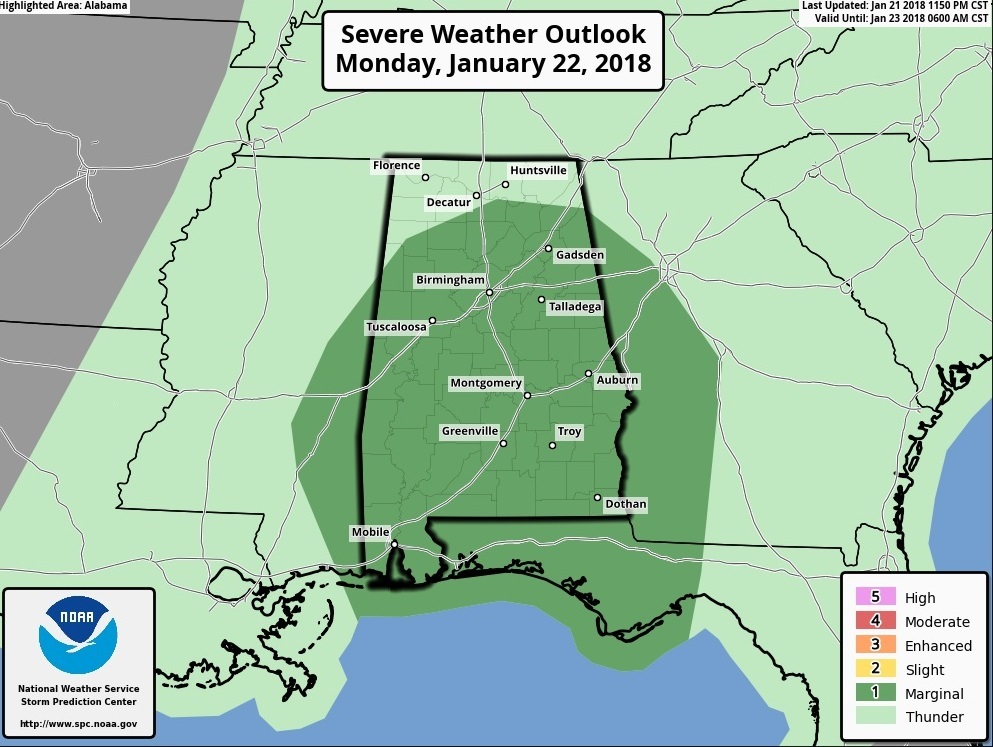
Good Morning! More weather changes on the way, as a frontal system sweeps through the state today. The Storm Prediction Center has a Marginal Severe Risk for much of Alabama. I’ll show you Future Radar. We’ll break down the timeline. Plus, a look at your week ahead, and what appears to be a significant storm system next weekend. Here’s everything you need to know on your Monday morning personal weather briefing.
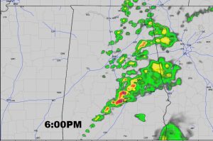
Cold front enters the state around Lunchtime and east to near the I-65 corridor by 6. A line of storms will move through ahead of the front. A few storms could be severe with the threat of damaging wind and maybe a brief tornado or two. The Storm Prediction Center has much of Alabama in a Marginal Severe Risk.
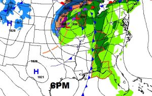
The air behind this front is COOLER but no ARCTIC air this time..
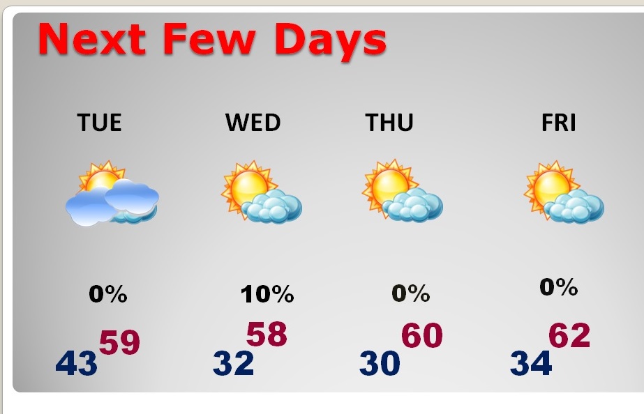
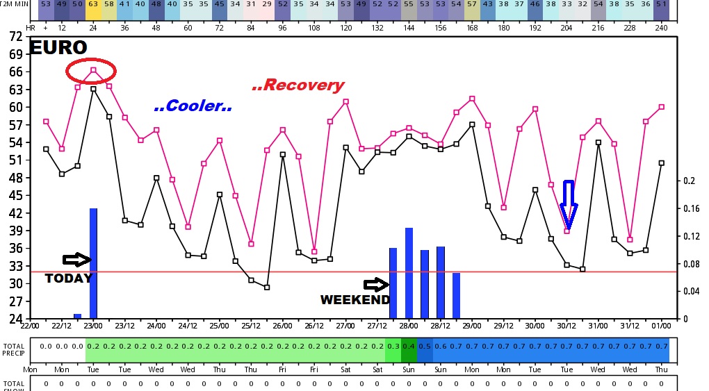
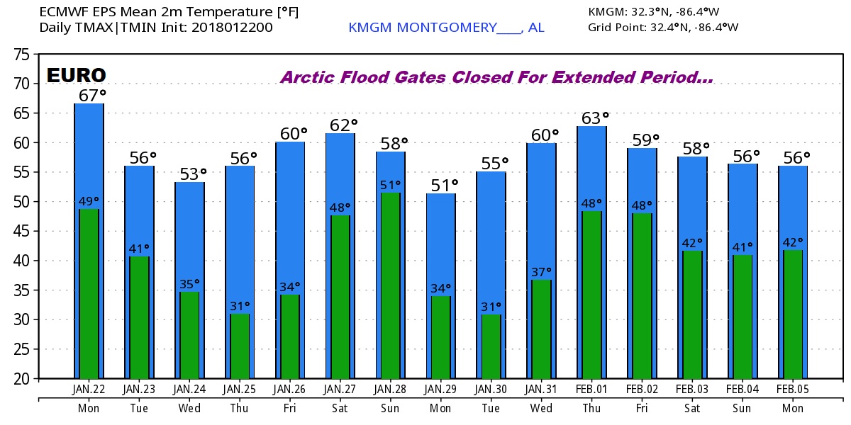
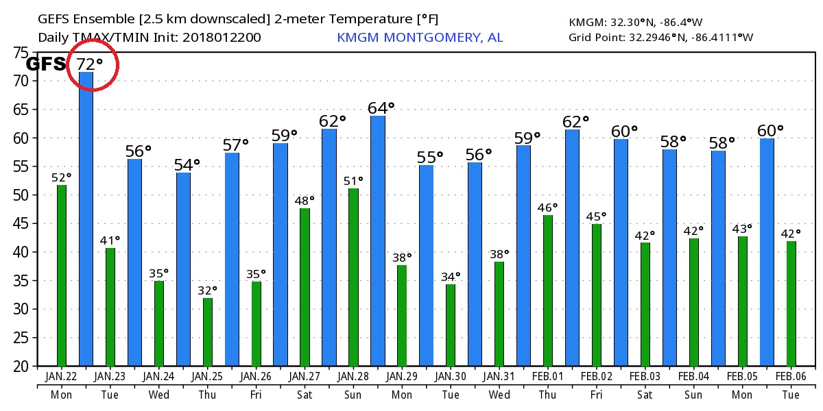
Another significant storm system arrives this weekend. The Global models shows the trend to cooler behind today’s front, followed by late week recovery before the next storm system. Looks like the Arctic Floodgates remain closed for at least the next two weeks.
