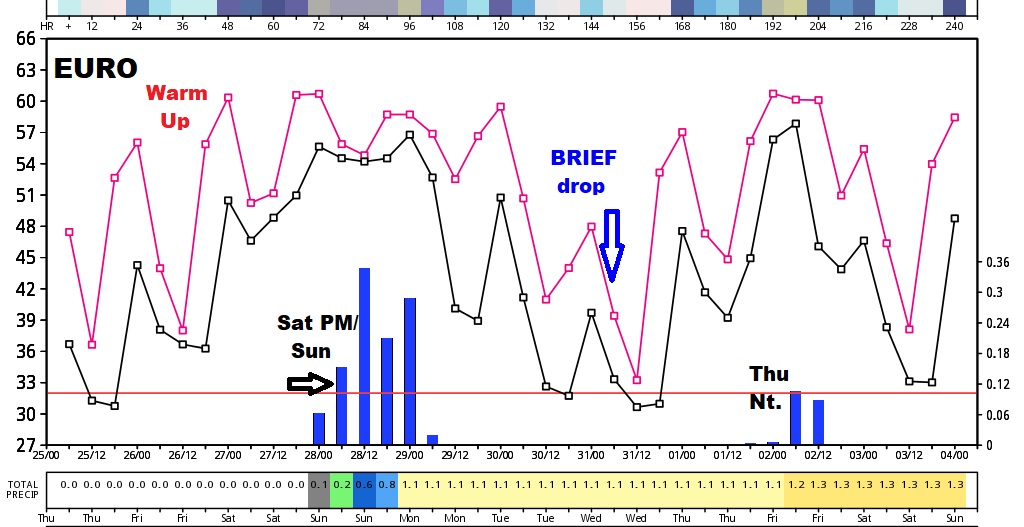
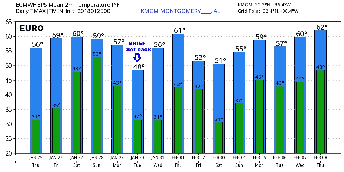
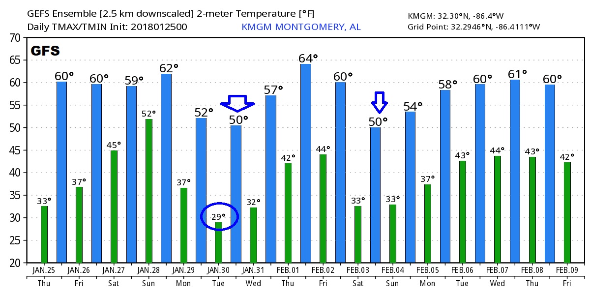
Good Morning! We are enjoying stretch of nice days for now. We’re looking ahead to that weekend storm system, which now coming into better focus. I have new rainfall estimates. Plus: interesting pattern ahead for the next 10 days, including a few ups and downs and two storm systems. For your planning purposes, I have the updated weekend forecast, on your Thursday morning personal weather briefing.
Should be a pretty nice January day today, and after a COLD start, we will see a nice afternoon recovery.
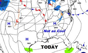
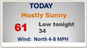
The warm up continues of Friday, followed by a weekend storm system. Then cooler back behind the front early next week.
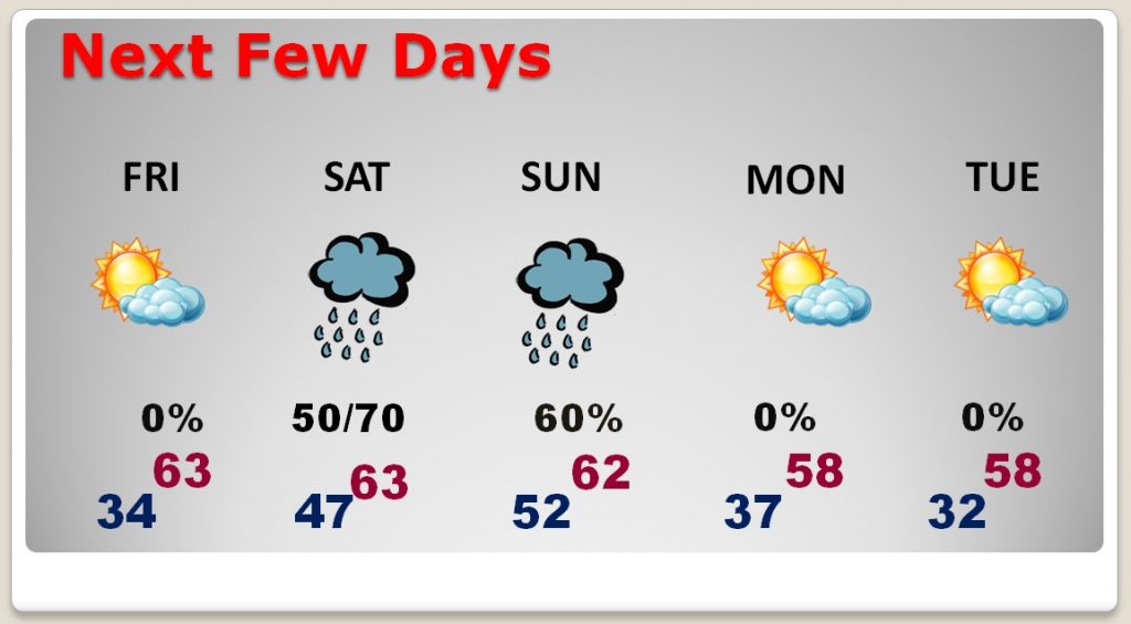
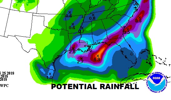
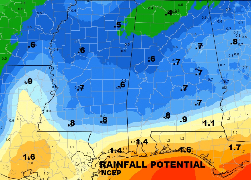
Rain chances increase by Saturday afternoon. Rain is likely Saturday night…and periods of rain Sunday. Heaviest rainfall potential across south Alabama and closer to the coast.
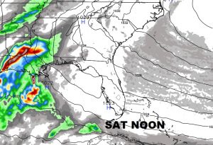
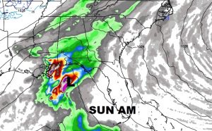
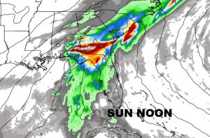
Notice how extremely heavy rainfall totals are located just south of the Gulf coast.
Global Models ..over the next 10 days show two storm systems…plus, a series of ups and downs between storm systems. Here’s the Euro out 10-15 days and the GFS 16 days.
