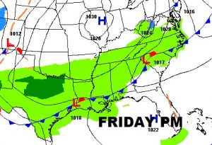
Good morning! Our forecast continues to be very Spring-like for several days. We may even tease a record high on Friday. Still no sign of arctic air, for now. Winter is on hold at least for a few more days. There’s at least a mention of showers in the forecast each day, as a frontal system enters Alabama and then stalls.
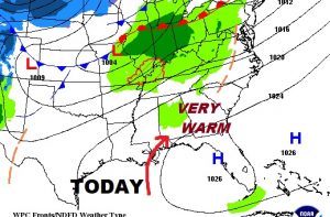
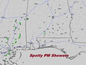
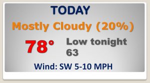
TODAY: I’ll call it mostly cloudy. I think there will be some “sun breaks”, but certainly more clouds then sun. High in the upper 70’s. Low tonight 63. Rain chances will be on the low side at 20%. An afternoon Future Radar snapshot will give you a feel for how widely scattered the showers will be. I think foggy areas will redevelop tonight.
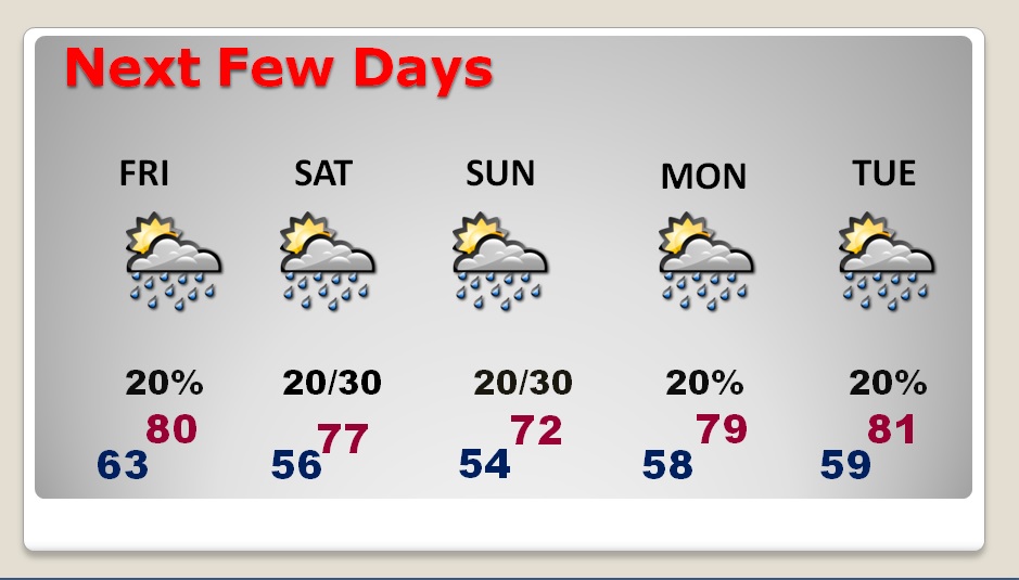
NEXT FEW DAYS: The normal high is 62, normal low 39. We will stay WAY above that next several days. Clouds will be rather dominate with limited sunshine. There will be a small chance of rain each day. On Friday and again early next week, we may be in record high territory.
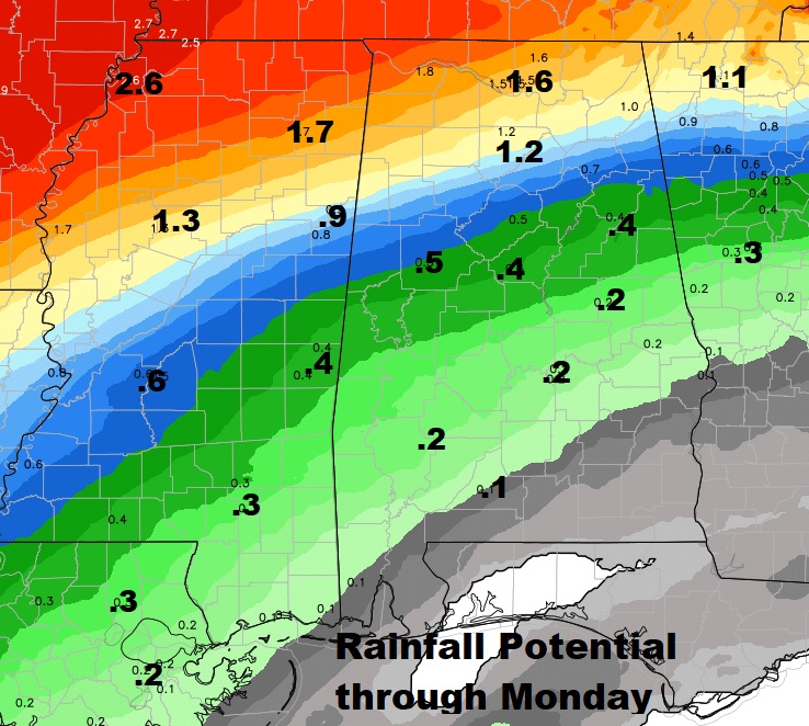
NOT MUCH RAIN: Later this morning the new Drought Monitor map comes out. Unfortunately, rainfall for the next few days will be rather small and spotty from central Alabama southward. The heavier rainfall potential, by far, will be across the Tennessee valley region of North Alabama.
—
I got back home to Alabama late last night. I was hoping to get you a video this morning. I promise everything will be back to normal tomorrow morning. I’ll have a complete video for you online at 4:45AM. (and back on NewsTalk 93.1, LIVE, too) I’ll be picking up a little dog later this morning named Bailey. Miss her so much! Have a nice day! I’ll see you in the morning.
-Rich
