
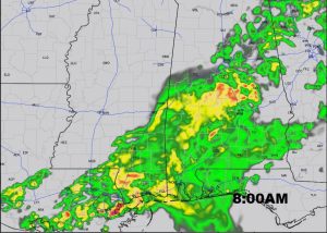
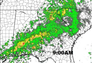
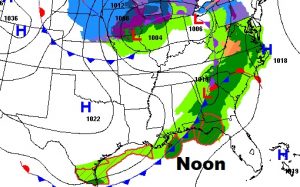
Lots of rain & storms on the radar this morning. A wet morning commute. I walk you through future radar. Plus, the coldest air in many weeks follows the cold front. I have the updated highs and lows. A late season Freeze is still possible late in the week, perhaps Friday. We will certainly be in the neighborhood. And, it looks we will be dealing with a rather potent weekend storm system. I’ll run it all down for you on your Tuesday morning, personal weather briefing.
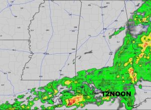
Wet and stormy morning commute, ahead of that strong cold front which will make it into SE Alabama by lunchtime.
Some of the coldest air we have seen in weeks is on the way. Highs only in the 50’s Wednesday and Thursday. That’s cold for March. Lows in the lower 30’s on Thursday and Friday morning. Then a quick warm-up before a big deal storm system arrives this weekend.
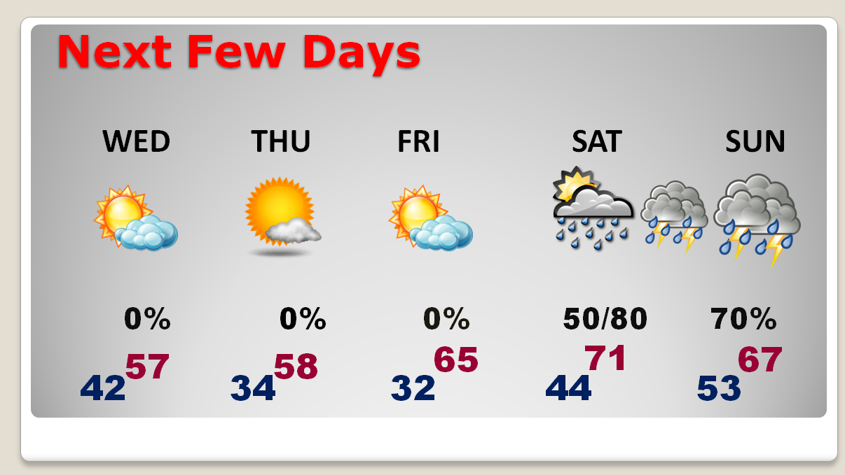
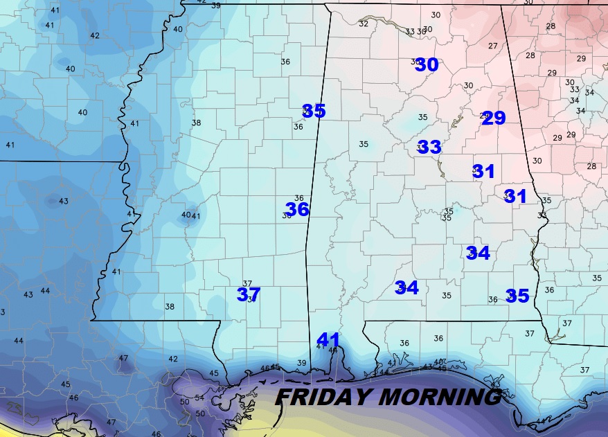
We will be very close to a late season Freeze on Friday morning.
Fairly significant storm system will deliver another round of showers & storms this weekend, especially Saturday night into Sunday.
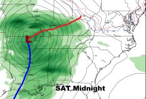
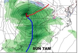
DON’T FORGET. This is the weekend we Spring Forward late Saturday night/Sunday morning. Set clocks ahead one hour as we return to Daylight saving time.