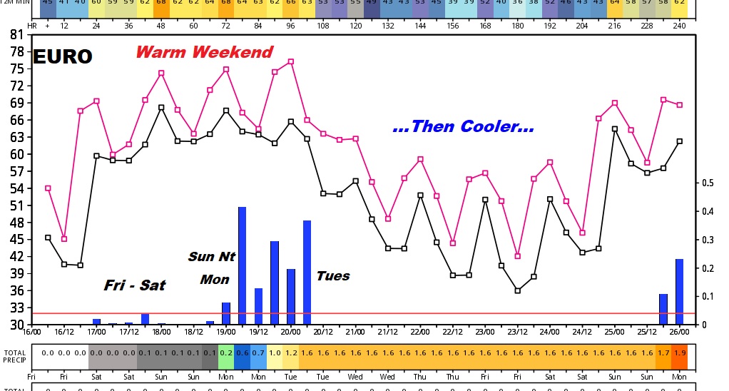
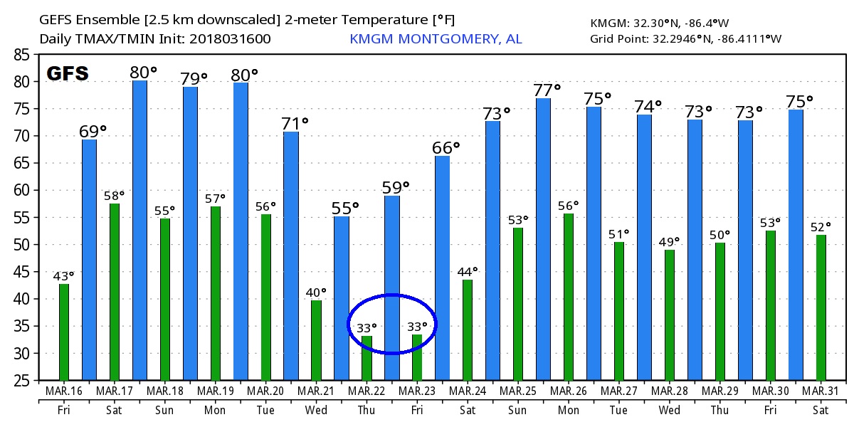
Good Morning! It’s not as cold, and in fact, we have a major warm-up underway. But, your weekend plans could be affected by rain & thunderstorms from time to time. On this video, I’ll update you on a series of storm systems on the way over the next 5 days. What about timing? How strong will the storms be? How much rain? I’ll run it all down. PLUS, are really done with freezes for the season? Now there are some question marks. Some good information this morning on your Friday morning personal weather briefing, on location in Montego Bay.
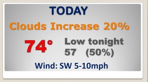
A much warmer day today. Clouds will increase, but the best rain chances hold off until this evening and tonight.
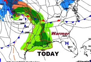
Showers and thunderstorms will be around, at times next 5 days. It won’t rain all the time. The showers will come in “waves” It will be much warmer, though.
\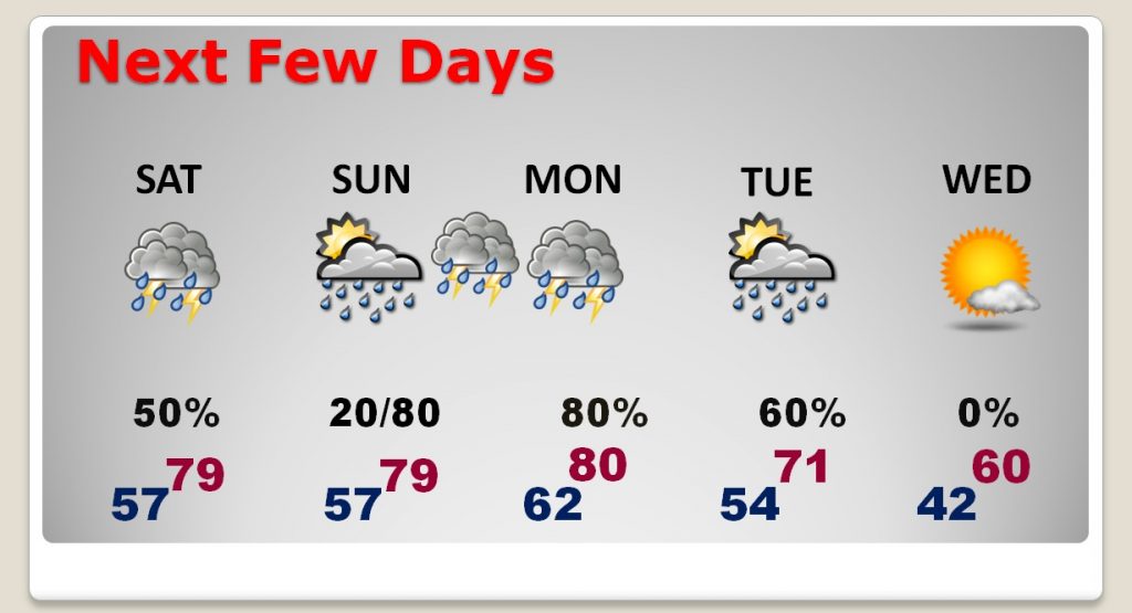
Waves of showers and thunderstorms will be around this weekend. But, it won’t rain all the time. In fact there will be long stretches of dry weather. For instance, the rain chance is relatively low daytime Sunday before big storms roll in Sunday night.
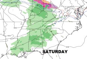
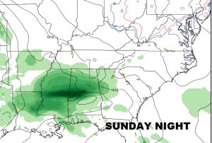
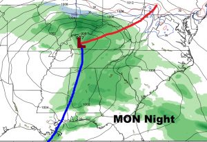
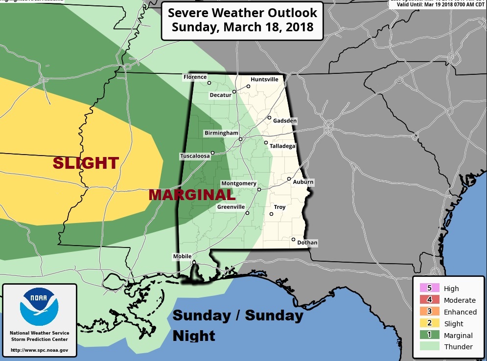
The strongest wave of thunderstorms, with perhaps a severe weather potential comes in Sunday night through Monday morning. The severe weather threat area from the Storm Prediction Center could be expanded by the time we get to Sunday. Tornadoes can not be ruled out.
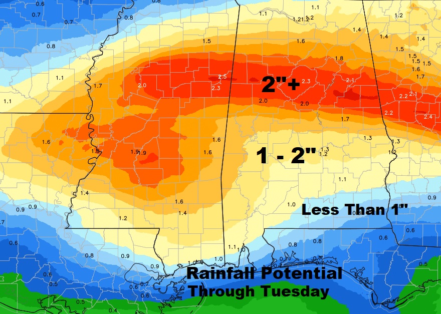
Could be some healthy rainfall amounts across much of Alabama next 5 days.
After a series of storm systems through Tuesday, much cooler air invades the area. And, uh oh, the GFS hints at maybe ANOTHER freeze or a couple of close calls next week. NOT GOOD.. We’re watching.
