Good Morning! Tropical moisture is flowing into the state. Rain chances are getting better and better. On this video, I’ll update you on that Low in the Gulf being monitored by the National Hurricane Center. How will affect us? Who will see the most rain? And, how long will this tropical pattern persist. It could be an extended stretch of days. We have a lot to talk about on your Tuesday morning personal weather briefing.
All eyes on the Low in the Gulf, which will be “stuck” near the coast for a few days. Rain chances will be better today and even better tonight and tomorrow as Deep Tropical Moisture overspreads the area.
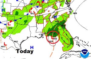
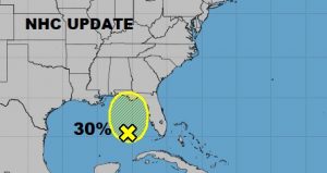
National Hurricane Center is still monitoring the Gulf Low for possible tropical or subtropical development, but only gives the system a small 30% chance of development in the next few days.
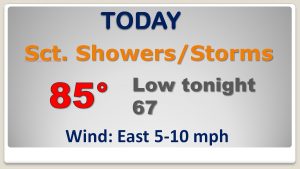
It’s not going to rain all the time. The showers and storms will be scattered. But the odds of encountering a few will be high through the rest of the week and in through the weekend. Fortunately, the 90’s are gone for several days, as clouds and showers keep highs in the 80’s.
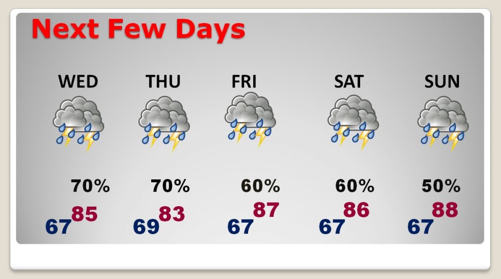
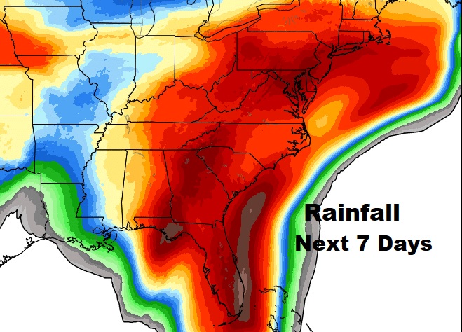
Alabama will be on the edge of the heavy rain shield which will extend from Florida and Georgia northward through the mid-Atlantic region. Rainfall will be heaviest across Alabama’s far eastern and southeastern counties where some spots could see 3-4″. Lighter amounts are expected from I-65 westward. This is the rainfall potential may for the next 7 days.
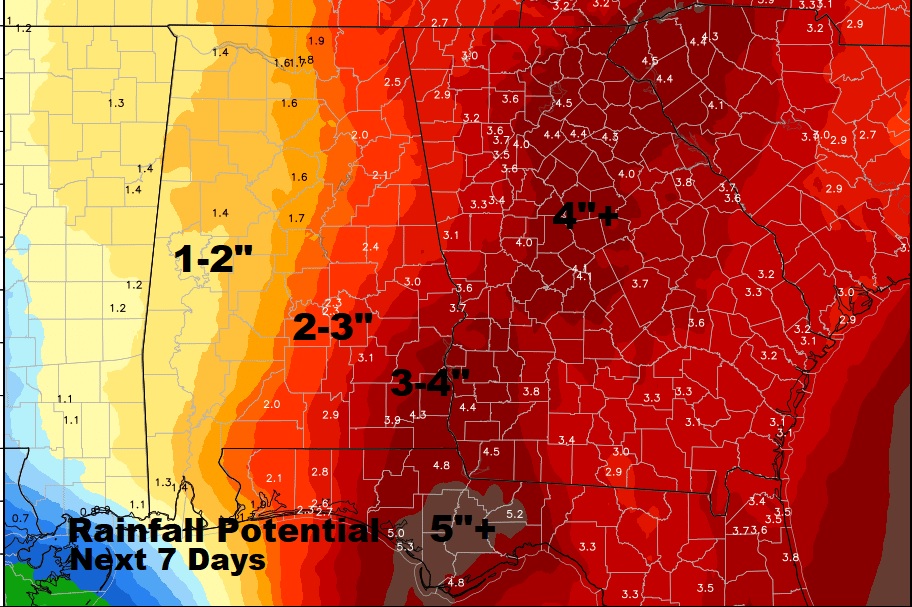
Thew map below shows a wider perspective the extent of the heavy rain shield will be over the next 7 days.
