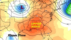
We could practically turn off the radar today and give it a rest. Am upper level high, directly over us, will suppress showers. The bottom line: hot & humid, with dangerous heat indices, not only today, but for much of the week ahead. This is a hard-core summer forecast. Stay hydrated.
TODAY: Abundant sunshine. Hot and humid. High in the mid 90’s. Heat index 100 to 105, very close to the Danger Range. Low tonight. 75. That big upper high, 4 miles above us is the key player in the forecast.
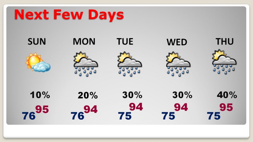
NEXT FEW DAYS: Small rain chances return Monday and Tuesday. Rain chances get a little better late week. The heat continues with middle 90’s each day and with the heat index near the 105 danger range each day. Lows at night in the mid 70’s
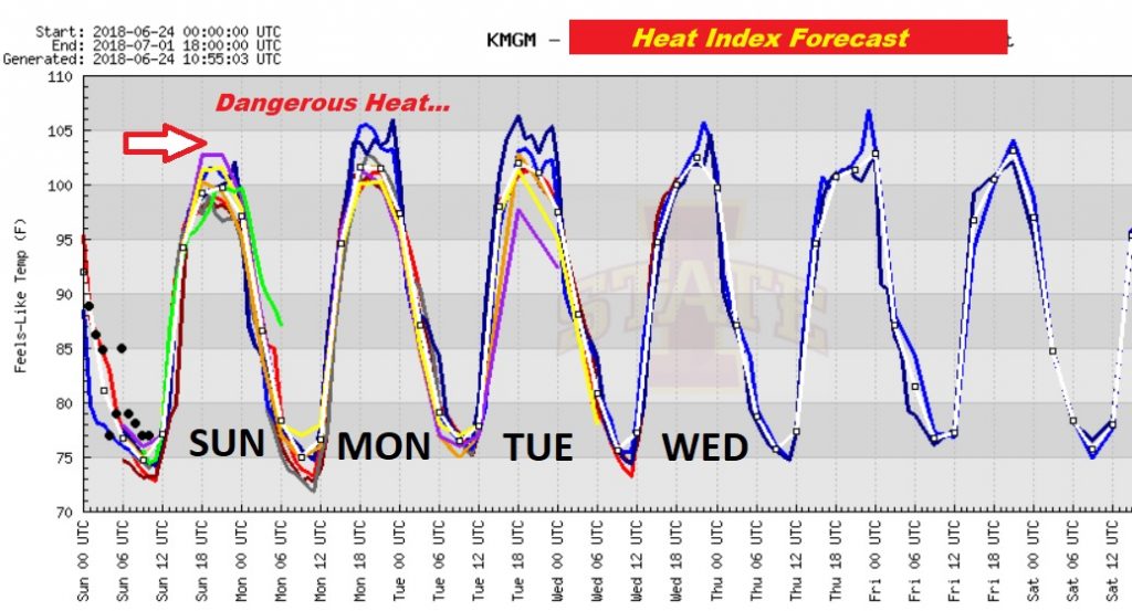
Here’s the Heat Index for the next few days.
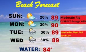
BEACH FORECAST: If you’re looking to cool off down at the Beach, be aware that the Dangerous Heat Indices will be in place there next few days. Moderate Rip Current Risk through Wednesday. Gulf water temperature is at a season high 85.
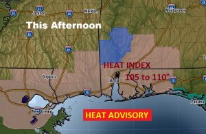
If you think the heat is bad here in central Alabama, it’s worse down on the coast. Heat Advisory covers much of SW Alabama and the coastal areas from about Destin west, along the Alabama and Mississippi coast to New Orleans. Dangerous Heat Indices of 105 to 110. #alwx
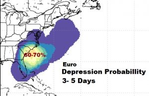
TROPICAL OUTLOOK: The tropics are quiet today. But, conditions may become favorable for tropical development later this week. The Euro model advertises a fairly high probability of development in the 3 to 5 day range. We’ll be watching.
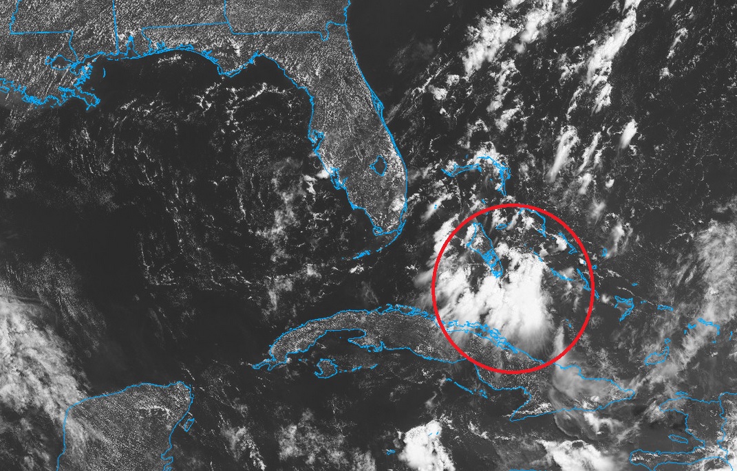
Interesting and persistent flare up of showers & storms from the northern coast of Cuba into the southern Bahamas. Weak low pressure developing, drifting northwest. Worth watching.
—
I’ll have another complete video update Monday morning around Dawn. Have a nice Sunday!
Rich
