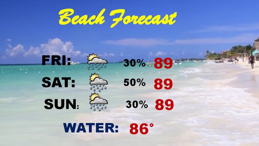
Good morning..Complicated set-up. Could be a cluster of severe storms entering the state by late tonight and advancing southward in the wee hours. And, it’s not out of the question that a second round of strong storms could get going again daytime Saturday afternoon. On this video, we’ll look at the threat level and the potential timeline. Plus, the rest of the weekend forecast for here and the beaches and a look at next week.
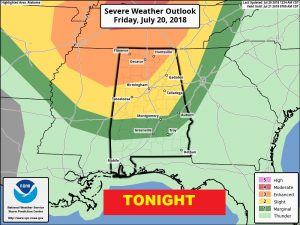
Severe weather threat late tonight…the wee hours of Saturday morning for many of us. Damaging wind gusts are the main threat. Most significant risk across the northern 1/2 of the state.
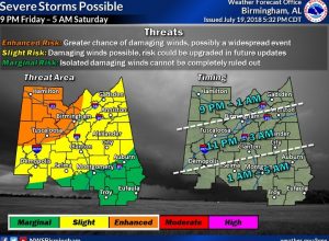
This time line from NWS gives a good idea on the potential timeline.
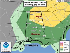
Strong/severe storms could re-develop during the day Saturday..
Storms thin out by Sunday. A more routine forecast returns.
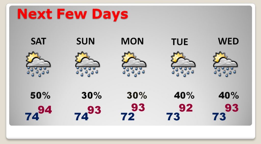
Best rain chance of the next three days at the beach would be Saturday.
