Good morning! Our weather pattern is evolving again. Look for storms to thin out, as the temperatures soar once again. On this video, I’ll walk you through the next few days, including a weekend forecast which starts pretty hot. This pattern may not be here for long though. I’ll show when the pattern will change once again.
That big upper air low which has dominated our forecast for the last few days will begin to lift to the northeast today. The number of showers and storms will start to thin out, starting today. The best concentration of showers today will be across the southern 1/3 of the state.
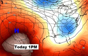
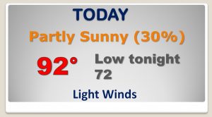
As the pressure pattern starts to flatten out…some of that heat to the west of us will start moving back in. Few storms and hotter days through about Saturday. Then rain chances start to get better again Sunday through Tuesday and into the middle part of next week.
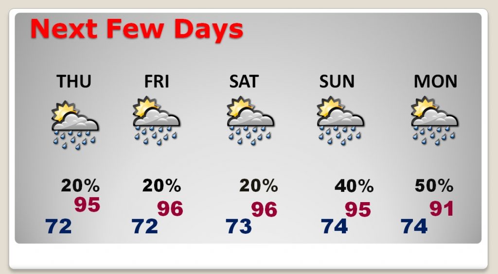
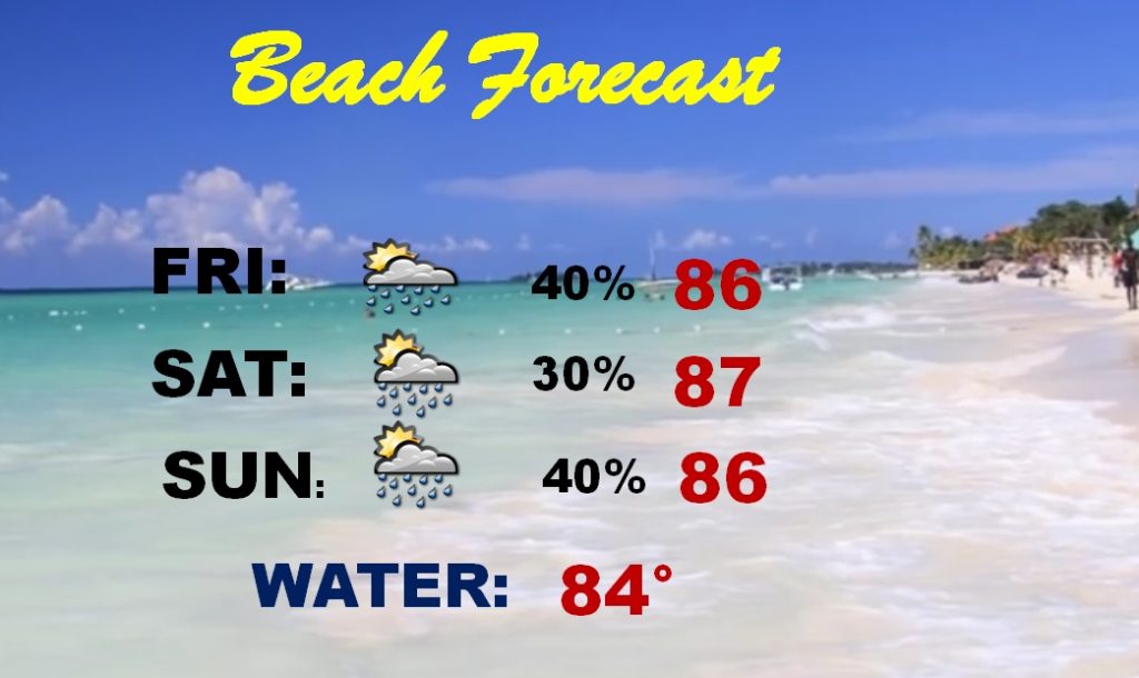
Fairly routine summer weekend beach forecast with rain chances in the 30-40% range each day. That’s par for the course during this time of year.
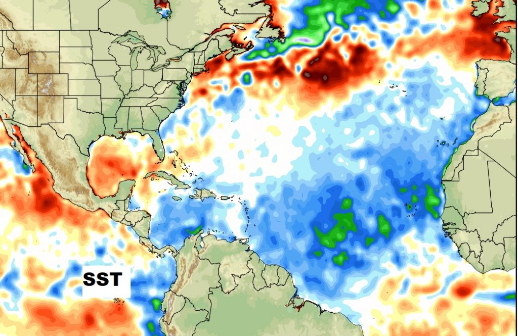
Why are the tropics so quiet right now? Well yesterday we showed you all the Sahara dust coming off of Africa. That’s not helping, But, also, much cooler than normal Sea Surface Temperatures are stifling development across much of the Atlantic basin this year.
