Latest 4PM NHC Advisory shows Gordon is a little stronger with 70 mph winds, just a little shy of hurricane status, 90 miles south of Mobile, moving NW at 15 mph. Pressure now, 1000 mbs. (29.53″) Gordon expected to make landfall along the north central Gulf coast this evening or tonight. Gordon still could still increase to hurricane status before landfall. It will rapidly weaken once it moves onshore tonight.
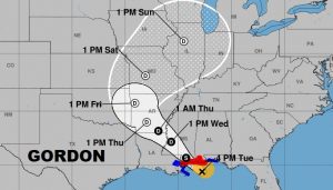
Here’s the 4PM updated forecast cone from NHC.
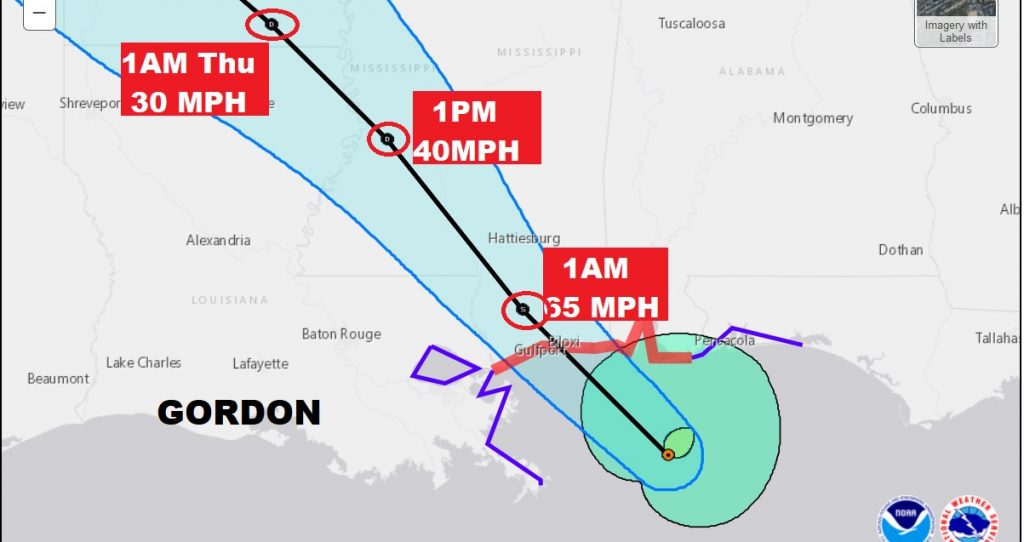
On this close up of the cone, not the storm inland over south Mississippi at 1AM with 65 mph winds moving northwest. And, still a minimal tropical storm with 40 mph winds over central MS at 1PM Thursday. The most concentrated rain and storms are always on the eatern semi-circle. Hurricane Warnings continue across the AL and MS gulf coast, with a Tropical Storm warning east to about Destin.
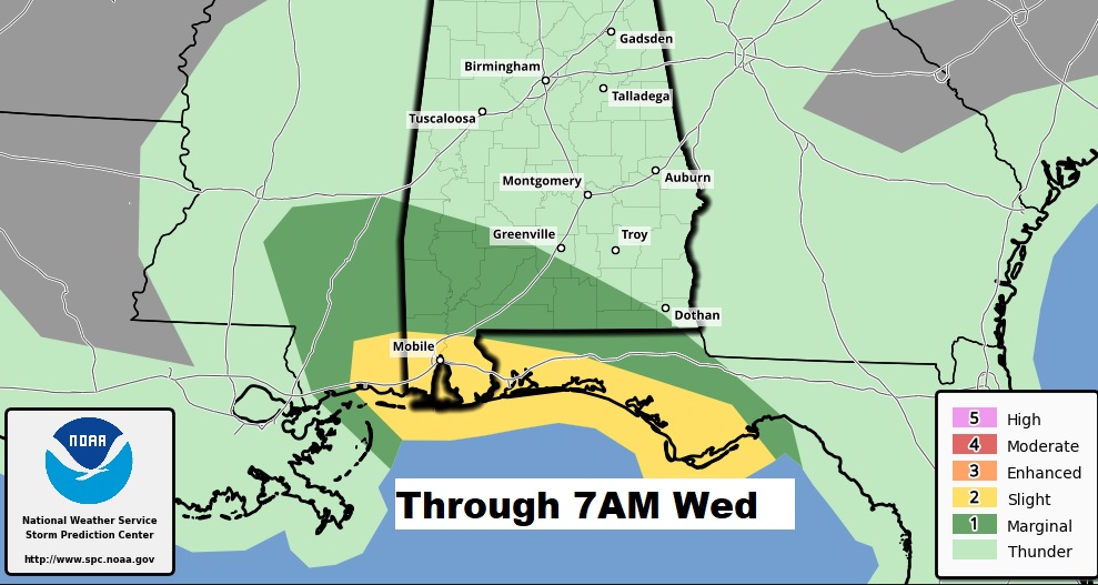
With every landfalling tropical system, there is a threat for some spin up tornadoes tonight across south Alabama and south Mississippi, generally along and south of a line from Greenville to Dothan.
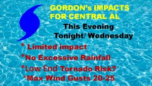
Farther north, the expected impact here in central Alabama will be relatively small. There will be some squalls overnight and tomorrow. Gusty easterly winds, but no tropical storm force winds expected. Tornado threat not zero, but very low.
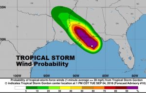
The highest probability of Tropical Storm forecast winds is across SW Alabama and near the coast.
Future Radar gives you a good idea on what we can expect tonight as the band of squalls works northward into our area with locally heavy downpours, as the storm itself works in through south Mississippi through 8AM CDT.
There will be additional updates as needed. Stay weather aware and keep our weather app handy. A complete video will be online first thing in the morning at 4:45 AM
-Rich
