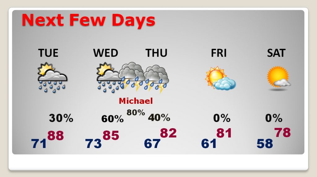
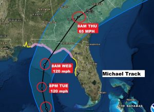
1oAM NHC UPDATE: #Michael has become #Hurricane, with winds of 75 mph, moving north at 10 mph. Expected to be at least a major category 3 hurricane at landfall, with 120 mph winds on Wednesday along the Florida northern Gulf coast Hurricane Watch continues east of the AL/FL border to the Florida Big Bend area.
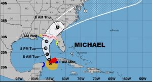
Close up on the new NHC cone showing the new intensity forecast of Cat 3 120 mph winds by Tuesday evening, and still a major hurricane at landfall on the Florida Gulf Coast Wednesday.
EARLIER POST AND MORNING VIDEO:
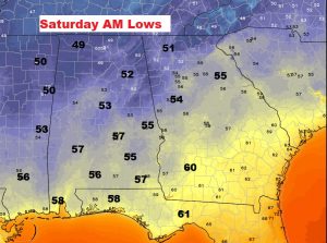
Good morning! Future Hurricane Michael takes center stage on this video this morning. Although the forecast cone from NHC continues to look better, as far as Michael’s effects here in Alabama, not all models agree with the Hurricane Center Forecast. I have the latest on potential track, timing and intensity. A hurricane Watch is now in effect on the Gulf Coast. And, that’s not all we have to talk about. The cold front that will transport Michael to the northeast is also the front destined to bring us Nice Fall Relief…cooler/drier air. I have a weekend forecast that will make you smile.
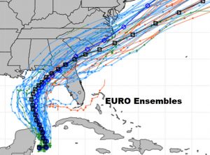
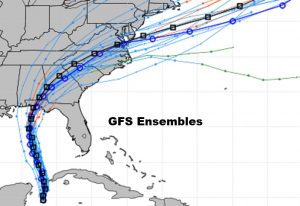
The Euro model is slowest on timing and it’s farther east on its track than the GFS.
Look for late week frontal relief! The same front which will transport Michael to the northeast will bring us some NICE Fall air by Friday and the weekend.
