Michael has continued to intensify and now is a Major Hurricane, category 3, with 120 mph winds. Located 295 miles south of Panama City, it is moving north at 12 mph. Pressure down to 957 mbs. Michael is expected to be at least a Category 3 hurricane at landfall Wednesday afternoon over the Florida Panhandle or Big Bend area, and then move northeast across the Southeast US Wednesday night into Thursday.
Here’s the updated forecast cone from NHC. Very littlwe change in track or timing.
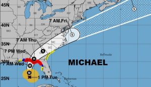
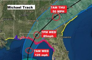
Close up of the Cone showing the Hurricane with 125 mph winds coming ashore along the Florida panhandle perhaps later Wednesday afternoon and tracking into SW Georgia early Wednesday evening, weakening, but still a Hurricane.
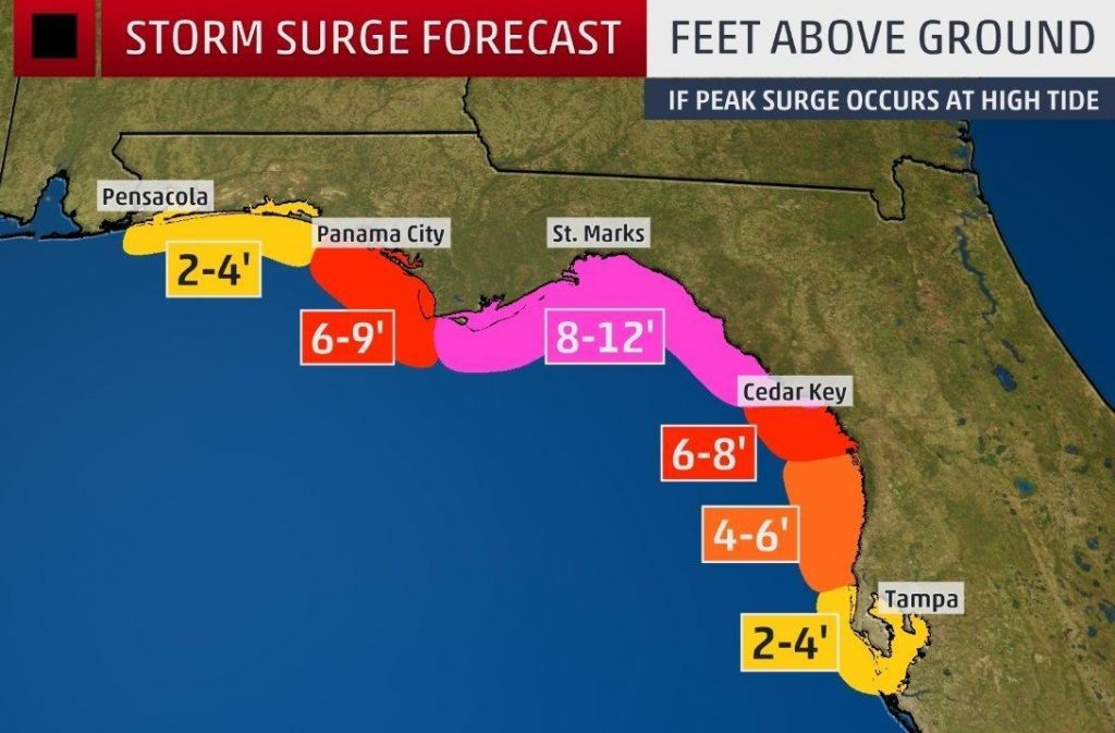
DANGEROUS STORM SURGE: We could see an absolute historic and hard to believe storm surge with Michael of 8-12 inches in part of the panhandle and Big Bend. Largest of any storm in decades. Potentially catastrophic.
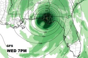
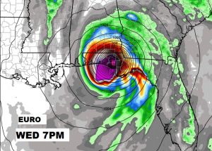
MODELS AGREE; The GFS and EURO global models now have finally come into amazing agreement on Michael’s position and timing early Wednesday evening. Here’s at 7PM snapshot.
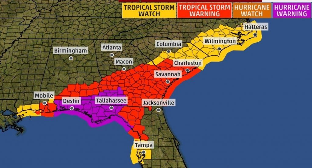
Here is Alabama the Tropical Storm Watch has been upgraded to Tropical Storm Warning for south Alabama, from Butler, Conecuh, Pike and Barbour counties southward. A Hurricane Warning continues for Houston and Geneva counties.
—
Stay weather aware. I will have another complete video update on Michael first thing in the morning. My alarm goes off at 1:30…your video will be online by 4:45 AM.
Rich
