Significant Hurricane HISTORY took place today. The strongest hurricane EVER to strike the Florida panhandle by far. And it happened in the month of October!
MICHAEL came ashore a little before 1PM CDT near Mexico Beach with nearly Category 5 winds. The winds were 155 mph, which is close to the category 5 157 mph threshold. Some of the higher wind gusts I have seen was 130 mph at Mexico Beach and 129 mph at Tyndall AFB in East Panama City.
Satellite & radar at Landfall:
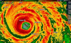
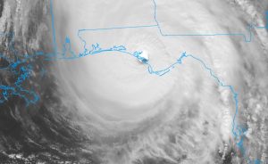
4;00 PM NHC MICHAEL UPDATE: Michael is STILL a category 3 hurricane with 120 mph winds. Amazing. Now moving NNE at close to 25 mph, with a pressure at 932 mbs. The center is located in Florida, about 70 miles southwest of Albany, GA, The center will continue to move northeast, passing close, soon to the AL/GA/FL intersection, then into Georgia, and rapidly accelerate to the NE as it loses intensity through the night.
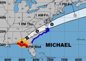
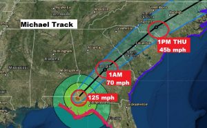
Here’s a radar snapshot just before 4PM, showing the powerful hurricane in Jackson county near where Florida/Alabama and Georgia meet.
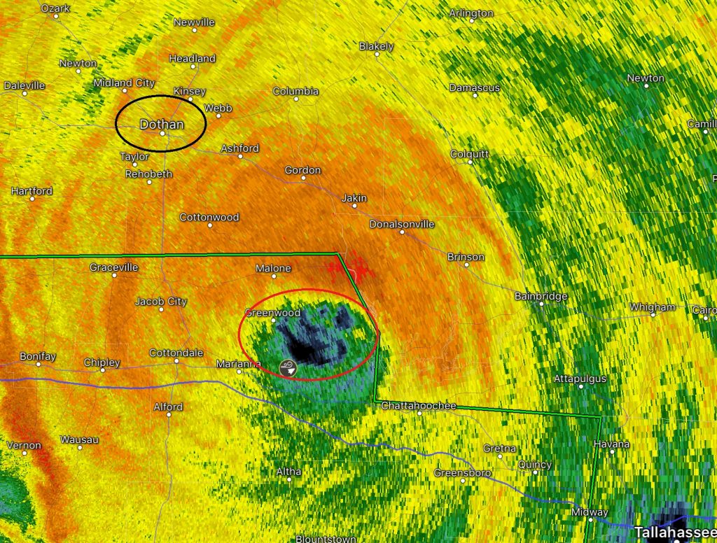
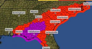
Affects from Michael across south and southeast Alabama will be significant. A tropical storm warning covers several counties as far north as Butler, Crenshaw, Bullock, Pike and Russell. A HURRICANE WARNING remains in effect for Henry, Dale, Houston and Geneva counties. Power outages will be widespread and potentially long lasting. Here’s all the warnings for Michael over a multistate area. Torrential rainfall could total 4 to 6” in the southeast counties.
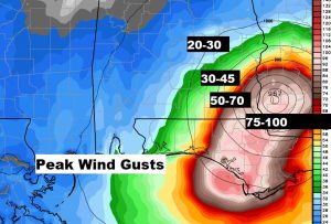
Wind speeds will vary dramatically from 20-30 mph in the Montgomery area to Hurricane force in southeast Alabama. Check out some of the potential wind speeds…updated.
Stay up with the latest. I’ll do my best to keep you update. There will be another video in the wee hours of the morning.
–Rich
