Good Morning! The first of two cool fronts has now made it all the way down to the coast, After upper 80’s for three days straight, we are looking for 70’s for the next 4 days. Even some 50’s tonight. But, the nicest air is behind a second cold front on the horizon. I’ll update the details on the rain ahead of the front and cool, nice fall air behind it. Will be around long? We’ll peek out through the rest of October. All of that, plus a look into the tropics on your Wednesday morning personal weather briefing.
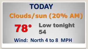
The front has made it to the coast. There’s still a slight chance of showers today, even behind the front, but high temperature will be in the more tolerable 70’s today and the 50’s tonight.
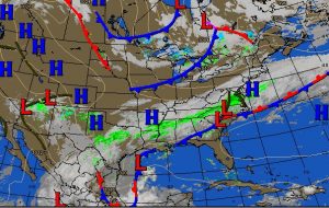
The next front will bring a good chance of showers and storms Saturday, before the front arrives Saturday night. The nicest and coolest air of the season so far follows.
The EURO model and the GFS global model, both agree on the timing of the cold front arrival Saturday night.
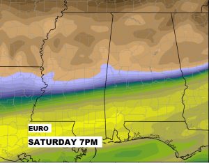
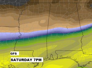
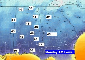
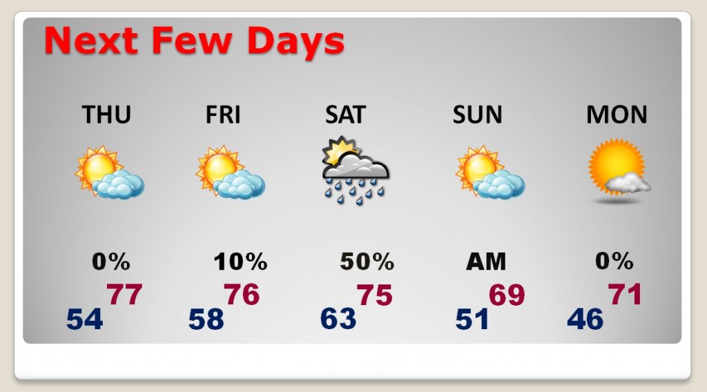
The GFS raw temperature guidance shows 70s for highs next 4 days. Then, upper 60’s on Sunday. The coolest morning will be Monday.
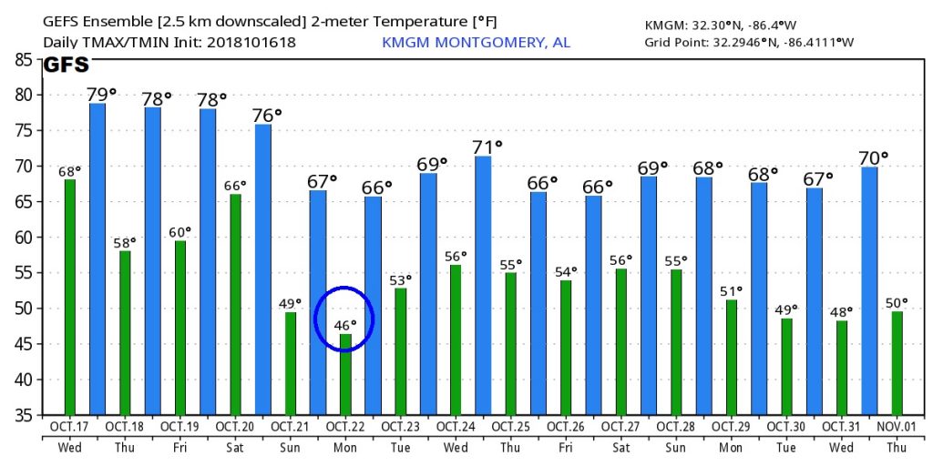
Monday morning lows.
