Good morning! Wet day ahead as the rain shield overspread the states. A storm system moving across the Gulf Coast States will be responsible for the rain and thunderstorms today and tonight. On this video, we’ll look at the time line for this storm system as slides eastward. I’ll show you Future Radar. The timing of the storm’s exit looks good for the weekend. I have the updated weekend weather details. Plus, we’ll look at the details of a very interesting Halloween Week weather pattern.
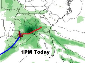
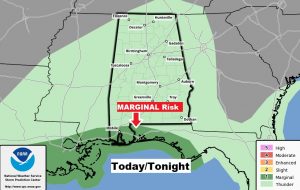
The Gulf storm system tracks eastward to near New Orleans at lunchtime, spreading a shield of rain & thunderstorms over the state today and tonight. SPC has a Marginal Severe Risk over coastal Alabama and on the Florida coast.
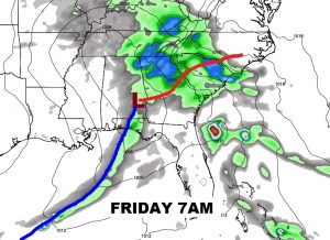
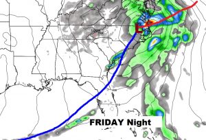
By Friday morning, the system will be in eastern Alabama heading for the Georgia border. The storm intensifies Friday night along the North Carolina coast, and becomes a major Nor’easter for the the middle Atlantic states and the Northeast.
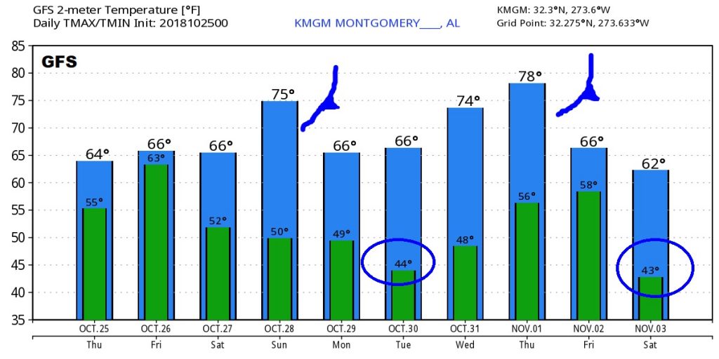
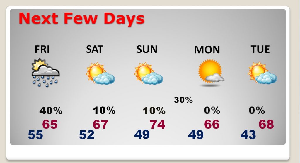
Most of the week will be dry. Another cool front slips through Sunday night with a small chance of rain. Looks like the coolest mornings will be Tuesday and Wednesday.
Next major storm system is about a week away on November 4th, as a significant front approaches the state.
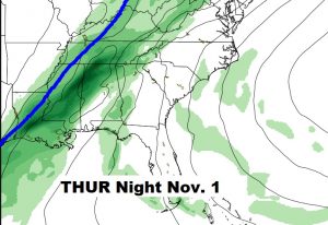
Next two cold fronts will be Sunday night and again somewhere around Nov. 1/2.
