Good Morning! We have a couple of very warm days ahead as October comes to an end. But, all eyes on an important approaching storm system. November is the start of our Second Severe season, and ironically, on Thursday, as November begins we may indeed have a severe weather threat to deal with a powerful front sweeps across the state. On this video, we’ll look at the updated details on timing and the threat level from the Storm Prediction Center. Get ready for sharply cooler air behind the front. I’ll preview the weekend forecast for you on your Tuesday morning personal weather briefing.
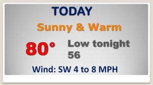
Very warm late October day today with a high near 80. Watching our next storm system coming together in the Plains.
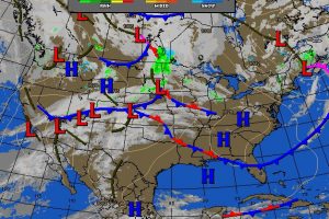
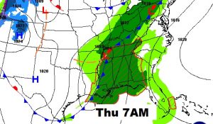
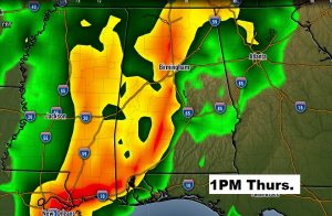
November starts Thursday. Powerful frontal system in Mississippi at 7AM will march across the state during the day Thursday with showers and strong thunderstorms. The NAM model shows the squall line moving into central Alabama by mid-day with the threat of damaging winds at tornadoes are also possible.
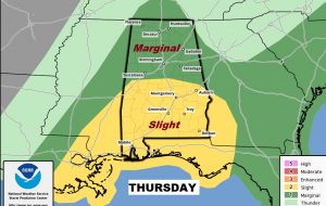
Updated Severe Risk from the Storm Prediction Center has all of the state in a Severe Risk. The southern 2/3 of the state are in a stage 2 “slight” risk, including all modes of severe weather…damaging winds, large hail and the risk for tornadoes.
After the Thursday storm system, much cooler air will follow for Friday and the first weekend of November.
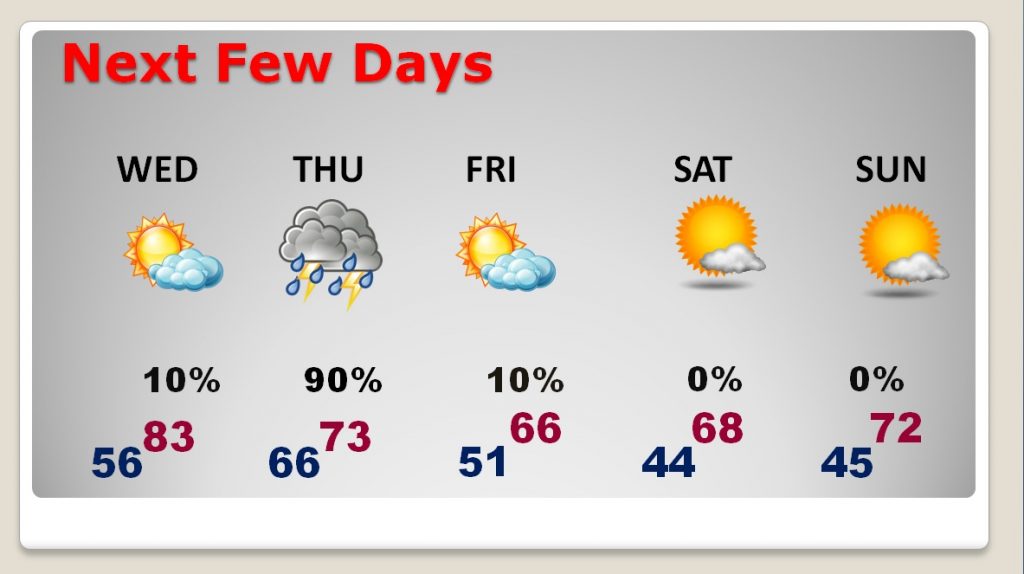
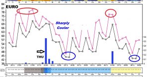
This EURO thumbnail tells the story of the next 10 days… Warm through Wednesday. Thursday storm system. Then sharply cooler for the 1st November weekend. Warmer next week, before the next cold front, then sharply cooler again.
