Good Morning! Again today, there’s no way to sugarcoat the forecast. Some of you have already had 2”+ since the rain began, and some of you 3”+. There’s a lot more rain where that came from. I’ll show how more rain is on the menu before the sun returns to our sky. On this video, I’ll walk you through the details for the rest of the week. We’ll look ahead to a nice weekend and take a peek ahead into Thanksgiving week.
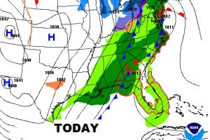
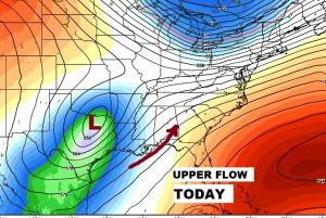
As colder sinks southward into the area today, the threat of locally heavy rain will continue. An upper low to the west of Alabama will funnel Gulf moisture, up and over the chilly air, creating “an overrunning” situation. That spells a lot more rain. Temperatures will be staedy or actually fall during the day, as gusty NW winds pick up to 15- 20 mph later.
Many places have had much than 2″ of rain so far. A few spots well over 3″, but take a look at this map. This shows how much additional rain could fall, on top of what we’ve already had, before the rain tapers off on Thursday afternoon.
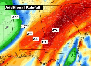
After the drenching rains today through mid-day Thursday, the sun finally returns Friday and that should set the stage for a great Fall weekend.
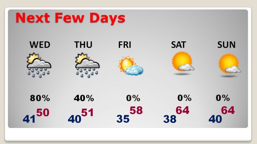
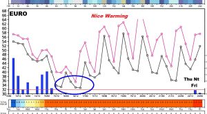
Here’s a thumbnail of the next 10 days on the EURO model. It shows the raw wet days today through Thursday. It shows we may “tease” the freeze mark, perhaps Friday and/or Saturday morning. Then a big warm-up on the daytime temps over the weekend into next week. It shows us mostly dry Thanksgiving week until a chance of rain by late Thursday into Friday. Of course, it’s still too early to zero in on a holiday forecast yet.
