Good Morning, on a bone chilling Tuesday morning with wind chill in the 20’s. The cold will in place through tomorrow before our temperatures will start to moderate. On this video, we’ll look ahead to a late week storm system which will bring showers and storms into the state. Will this system be severe? I’ll walk you through an interesting 10 day pattern, with big ups and downs and a series of storm systems. Never a dull moment. I’ll cover it all on your Tuesday morning personal weather briefing.
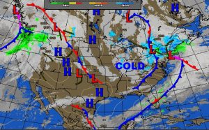
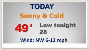
A fresh supply of Canadian air, means today’s high may not make it out of the 40’s. And, now doubt about it. We’re headed for the 20’s tonight.
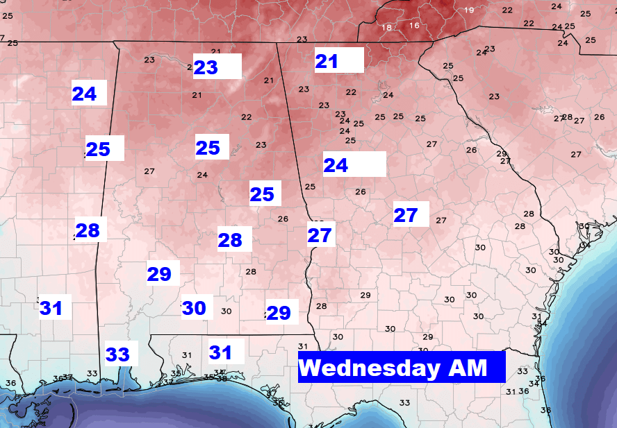
Here’s Dawn on Wednesday morning. Actual lows. Not wind chill.
Storm set-up Friday night. Potent storm system approaching. Severe weather threat west of us Friday night. Will the storms be severe when they arrive in Alabama? The jury is out…. Monitoring…
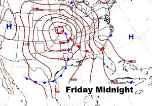
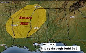
Saturday morning at Dawn looks busy with showers and strong thunderstorms moving through Alabama ahead of a frontal boundary.
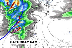
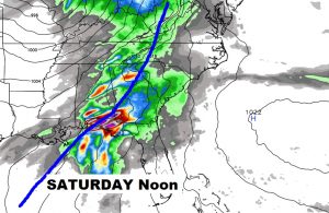
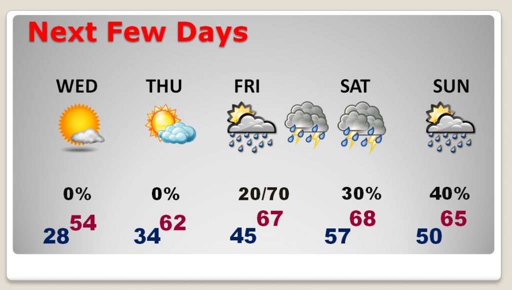
Warm-up begins Thursday and continues Friday. We may actually tease the 70’s by Saturday. Stormy Friday night and Saturday. And, a wet pattern continues through at least next Tuesday.
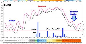
Interesting thumb nail of the next 10 days on the Euro model. Cold then much warmer and wetter for a few days, then the bottom drops out again by the middle of next week as temperatures plunge again.
