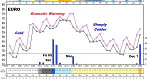
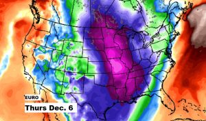
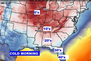
Good Morning, on a frigid late November morning, in the 20’s. There are lots of ups and downs ahead, over the next 10 days, We have another chilly day ahead, before rapid warming takes over. I have the latest on our next storm system, which could bring a round of severe weather to the Gulf South. We’ll update the timing of this weekend storm system. Plus, get ready for another sharp temperature plunge next week. I’ll sort it all out in a couple of minutes on your Wednesday morning weather briefing.
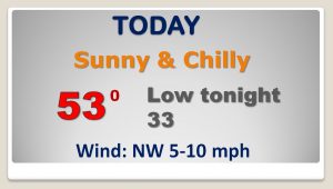
After the coldest morning of the season so far, today will still be way to cold fro November. Lower 50’s is the best we can hope for, and it looks like we’ll tease the freeze mark again tonight.
Potent storm system will bring a round of showers and storms, beginning in the overnight hours Friday into Saturday. The Storm Prediction Center shows a severe weather threat edging into SW Alabama by 6AM Saturday. The dynamics for severe weather over Alabama coukld be just a little weaker by Saturday, based on current data.
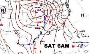
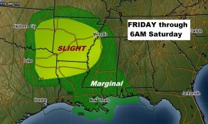
Much Warmer air Thursday through the weekend. Showers/storms Saturday, and the shower risk continues Sunday & Monday.
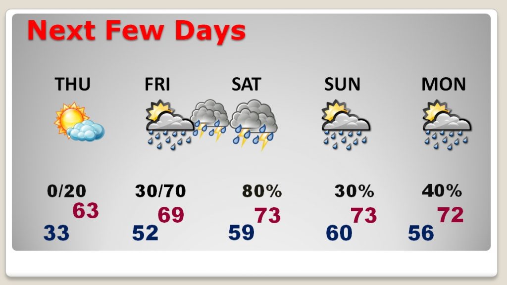
The EURO model “thumbnail” of the next 10 days, shows the cold, then the bug warm-surge, the storm, then the huge temperature plunge next week
