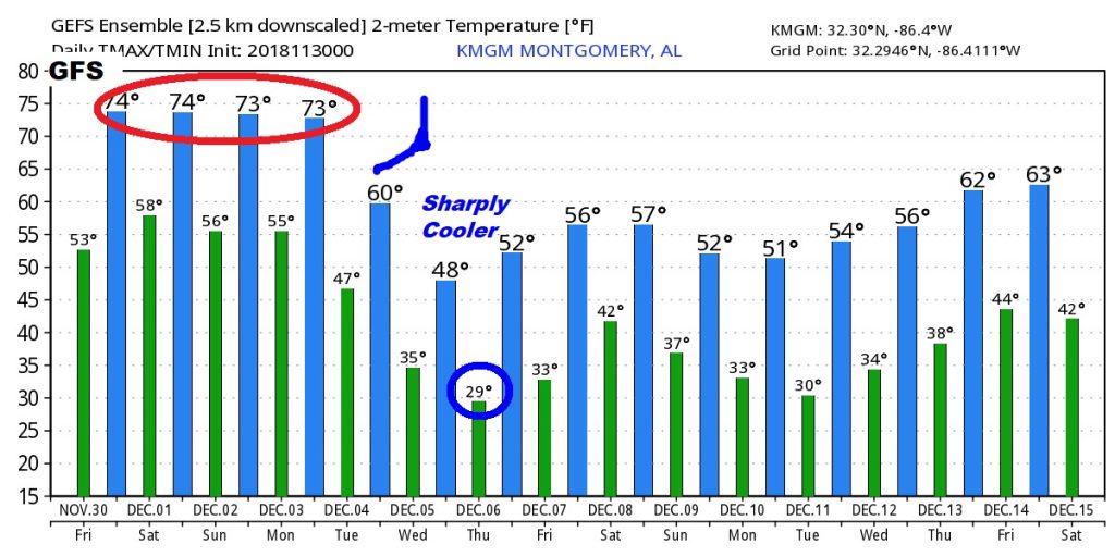
Happy Friday! The best news is…it’s much warmer. What a change. Highs in 70’s a good bet for the next 4 days. But, other side of the coin, we may have to deal with a Severe Weather Threat tomorrow, including all modes of severe weather. On this video, I’ll update you on the expected threat, and the time line. Plus, we’ll look ahead. The temperature Roller Coaster ride continues. Get ready for another plunge next week. Please take a moment to watch the video, so that you are up to date on what to expect.
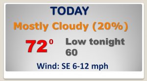
That ominous storm system stays west of us today. Looks like another warm day with highs 70+. Small rain chance today. Rain chance increases dramatically by the wee hours of tomorrow morning.
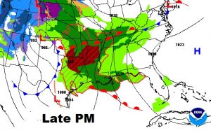
Strongest severe weather risk tomorrow in the yellow “stage 2 – ‘slight risk” covering the southern 2/3 of the state. All modes of severe weather possible, including tornadoes.
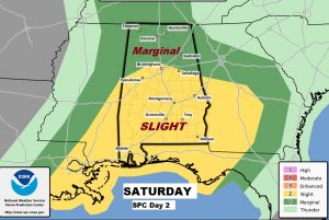
Many question marks remain. Will there be enough instability available after the morning round of rain? Spin or shear for tornadoes will not be a problem.
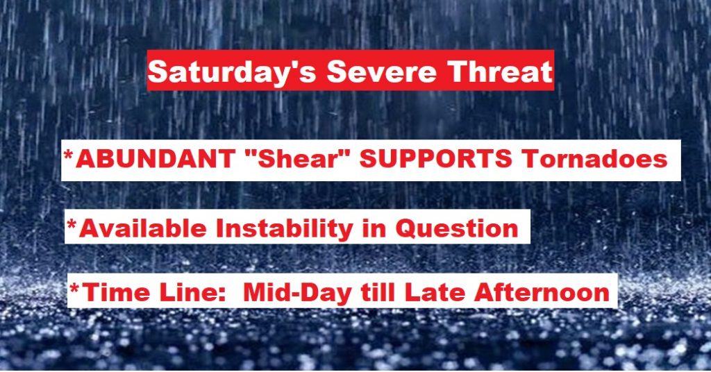
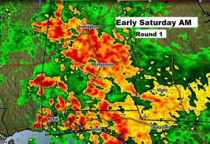
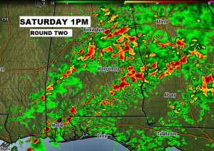
That early morning round of showers and storms (round one), could have a significant affect on how round two (the severe risk) unfolds from late morning until late afternoon.
After the nice 70’s for the next 4 days, much colder air will start to funnel back in by mid-week.
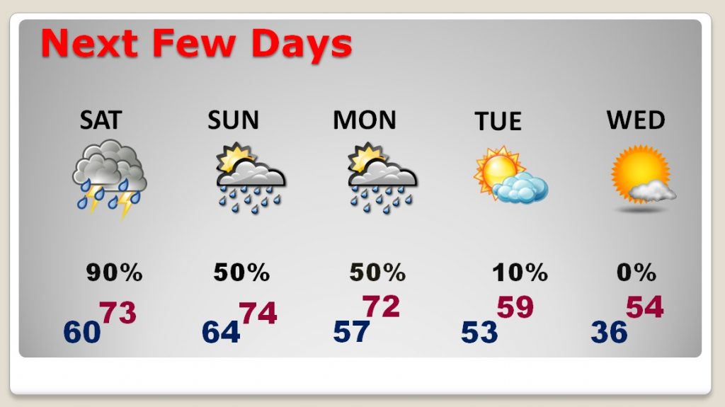
The GFS raw model numbers shows the harsh change from warm to cold next week.
