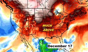
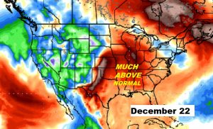
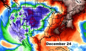
Good Morning! Finally, sunshine returns. A big improvement. And temperatures will be a little warmer each day through Thursday. We’re tracking another storm system with more drenching rains approaching. Will this storm system move out of the way by the weekend? I’ll show you the latest model trends. And, we’ll look into the weather crystal ball. There is more and more evidence about a significant patter change for the middle and later part of December. On this video, we’ll investigate what it could mean. Will winter be “on hold” for awhile?
Glorious sunshine returns today, and although 53 degrees is still way too cold, it sure is a big improvement over the last 3 days.
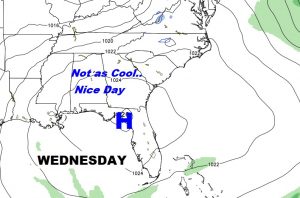
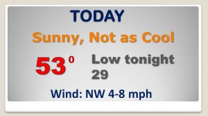
Not quite as chilly next two days. Sunshine pushes us back to the 50’s Storm system brings in rain late Thursday through Friday with a small chance of a lingering shower or two Saturday. The BEST day of the weekend will be Sunday.
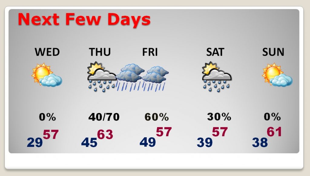
The heaviest rain from this next storm system moves through in the overnight hours Thursday, with scattered showers still around Friday.
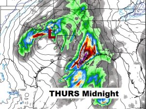
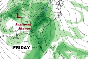
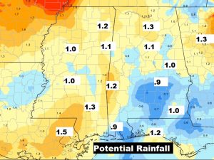
Rainfall totals from this next storm system could reach an inch or more in spots.
There continues to be growing evidence on the long range models that winter make take a little break for a coup,e of weeks, as cold air gets locked up in Canada for awhile and much warmer air covers much of the nation. Keep your fingers crossed! It would be a NICE change.
