Good morning! Widespread dense fog across Alabama and adjacent states will make for tough travel through 9AM. It should be a very warm last day of 2018. A storm system on the way will bring in an increasing risk of rain and thunderstorms, especially by evening. A few severe storms are not out of the question, especially west and northwest of the River Region, as a weakening squall line moves southeastward across the state. There’s more rain ahead. In fact, the risk of rain will continue through Thursday.
Here’s the set-up today. Here’s the storm system which will adversely affect a lot of New Years Eve plans for much of the eastern US.
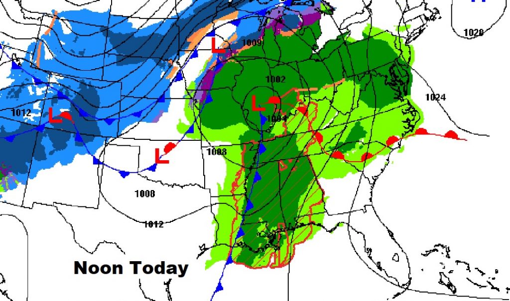
TODAY: Dense fog advisory for much of the state till 9. It’ll be a mostly cloudy day. Becoming windy later. South winds will increase to 10-15 and gusting as high as 30 mph. High today in the low to mid 70’s. Scattered showers are possible this afternoon, but the risk of showers and thunderstorms will increase this evening and tonight. A weakening squall line enters the state this afternoon, and weakens as it heads into central Alabama between 7 and Midnight tonight. A few storms will feature gusty winds to 35-40 mph.
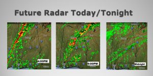
FUTURE RADAR gives you sense of the squall line movement from late afternoon till Midnight as the line of storms weakens and heads southeast.
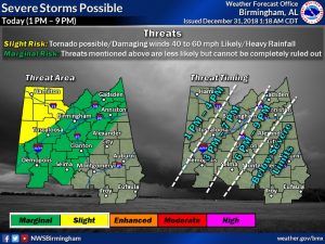
SEVERE WEATHER RISK? The greatest severe threat today will be in Alabama’s far northwest counties. There is a “non-zero-tornado risk”. Damaging wind gusts are possible. A Marginal Severe Risk exists as far east as an Anniston, Clanton, Selma line, as the line of storms begins to weaken as it pushes east. Here’s the threat map and the expected time line.
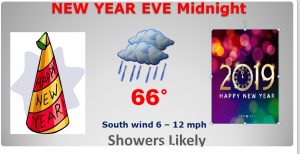
HAPPY NEW YEAR!: If you’re going be at one of the outdoor celebrations at Midnight, have the umbrella ready!
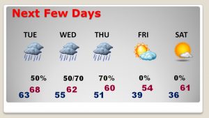
THE NEXT FEW DAYS: The front moving through today, will stall in south Alabama. That spells more rain, at times New Years Day through Thursday. The heavier rain will be in the Wednesday/Thursday time frame. Sunshine and chilly air takes over Friday. The weekend looks dry, and mild with lots of sun.
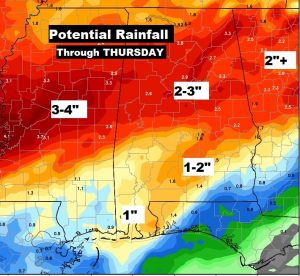
EXPECTED RAINFALL: We sure don’t need any more rain. Additional rainfall amounts could easily reach 1-2”…perhaps more, before the rain threat ends by late week.
—
DO YOU REMEMBER LAST year? It was Bitter Cold. Wind chill on New Years Eve was in the single digits. The high on New Years Day was 33. The low New Years Night was 18. What a difference!
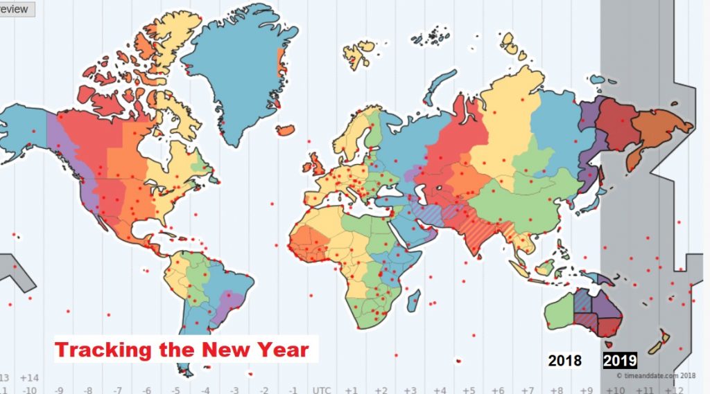
NEW YEARS WORLD WIDE: Your New Years Eve outdoor plans should include umbrellas and ponchos. Future Radar, through Midnight, shows the eastward progression of a weakening squall line across the state this afternoon & tonight. A few storms across NW Alabama could be strong, with gusty winds
—
Our Weather App will keep you up to date on where the rain is this afternoon & tonight. I hope you gave a Safe and Happy New Year!
Rich
