Good Morning! Try to get outside if you can today. Our beautiful weekend weather spills into today, with another 70+ degree day.. But, reality is right around the corner. We’re going to significant temperature “set-back” for a few days, with about a 20-25 degree drop in highs and lows. But even this “bump in the road” may not last too long. We’ll look ahead to the next storm system which could affect some weekend plans. And, we’ll again check to horizon to see if the arctic flood gates are about to open anytime soon.
Another nearly perfect day in “the dead of winter” with lots of sun and highs in the lower 70’s.
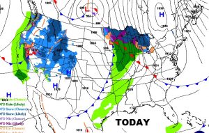
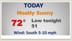
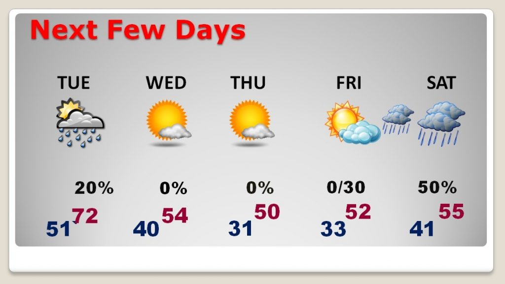
Small chance of showers tomorrow as the first of 2 cool fronts enter the state. Sharply colder by mid-week
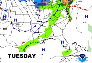
Mild air will soon be a thing of the past. Much colder air arrives by mid to late week. Next storm system brings risk of rain by Friday night into Saturday.
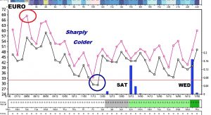
This snapshot of the Euro model tells quite a story. It shows today as the warmest day. Then, dramatically colder by mid week. Coldest morning is Thursday morning. It also shows the next chance of rain arriving by Saturday.
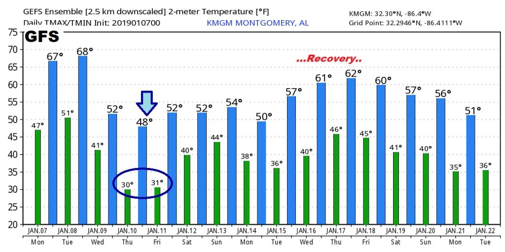
Raw numbers from the US GFS models shows the dramatic temperature drop this week, and then recover ahead the following week.
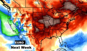
The EURO shows that late NEXT week, much of the nation will be enjoying above normal to much above normal temps. No opening of the Arctic Flood gates quite yet.
