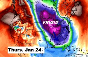
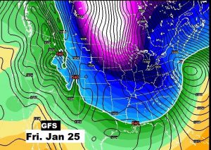
Happy Friday! Alabama has been virtually rain-free for about 8 days, allowing the ground to dry out and river levels to fall. Rain returns to the state tomorrow and that will undoubtedly affect some weekend plans. We’ll look at the latest on timing. And we’ll take a peek to the week ahead and see what weather adventures may be on the horizon. On the distant horizon, some arctic air appears poised to invade the nation before this month is over. I’ll update the time line, on what could possibility be the start of a big pattern change to much colder.
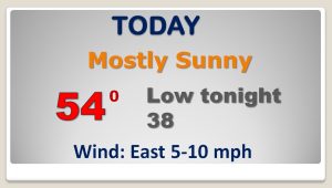
Another dry day today, but our dry streak will end soon as a storm system approaches.
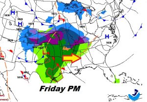
The best chance of rain begins Saturday afternoon in through Saturday night.
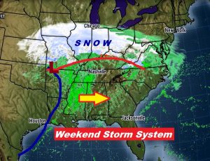
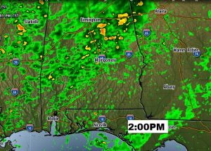
Fortunately, no heavy rain is expected with this storm system.
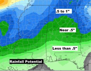
Wet Saturday, with showers ending early Sunday. Windy and colder Monday. Chilly Tuesday. Not as cold Wednesday.
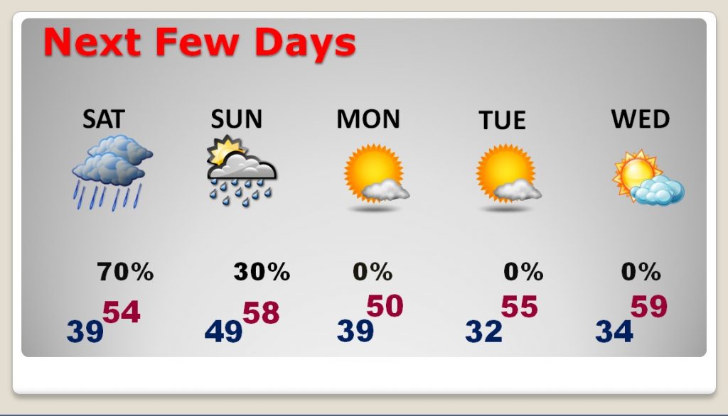
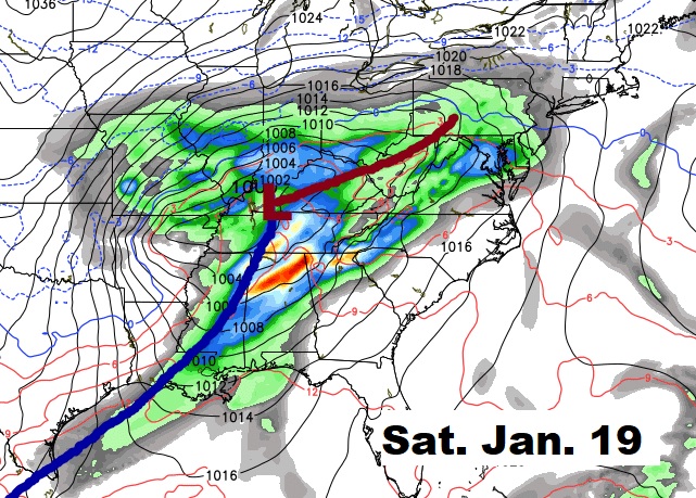
After this weekend’s storm system, looks like the next storm system will arrive the following Saturday, Jan. 19th.
Will the Arctic Floodgates open into the United States before this month is over? The credible long-range global models continue to suggest that may indeed be the case. Will that stage for an overall significant pattern change to a much colder February? Stay tuned.
