Good Morning! Ready for some weather changes? We are sliding in to a very active weather pattern. The first disturbance brings showers to the state today. The second, more important storm system will bring in showers and maybe a few strong storms by Saturday. That cold front will open the door to the coldest arctic air so far this season. But, that’s not all. We’ll look ahead to what could be a very interesting last few days of January, with more storm systems and even colder arctic air outbreaks. Get ready for the rollercoaster ride. I’ll break down the details on your Thursday morning weather briefing.
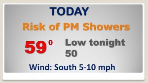
First disturvance moves into this afternoon/tonight with scattered showers. Not a big deal..
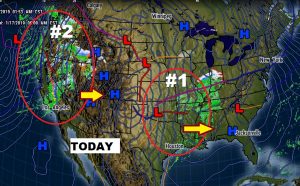
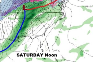
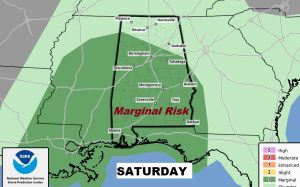
Strong cold front approaches Saturday and bring and showers and thunderstorms. SPC says some storms could reach severe limits. The tornado threat is low but not zero.
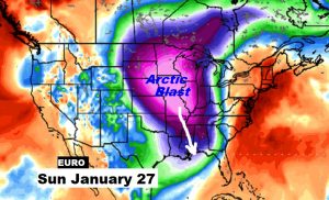
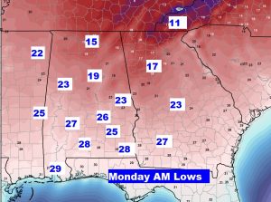
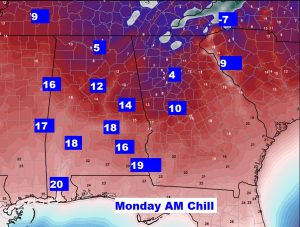
After the showers and storms Saturday, it turns windy and sharply colder Sunday. Colest air of the season so far. Mid 20’s by Monbday morning. Another storm system arrives by mid week.
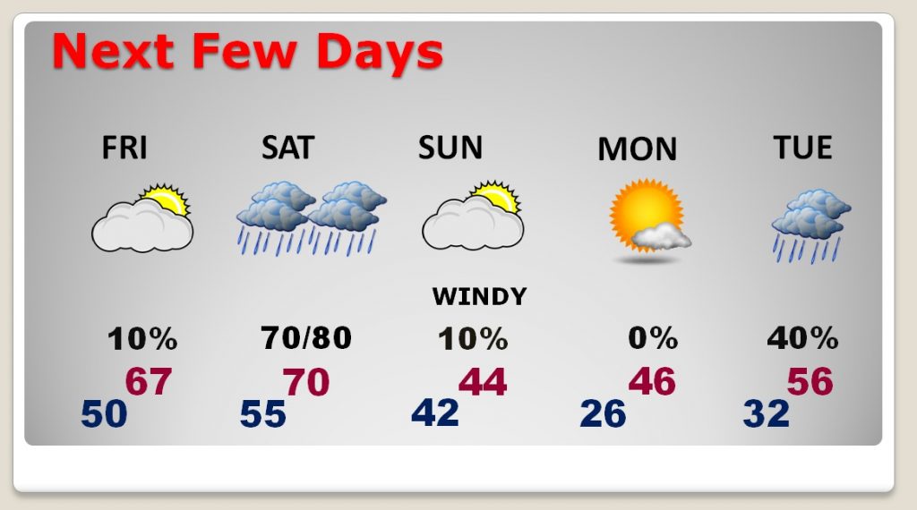
RAW Monday morning MLK day, with lows in the mid 20’s and wind chill in the teens.
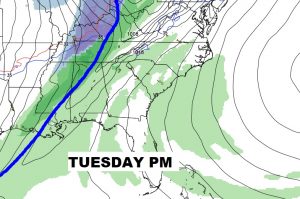
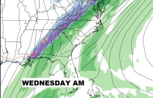
Another storm system (#3) middle of next week…then sharply colder again.
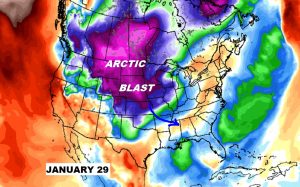
Another ARCTIC BLAST will be arriving by the last weekend of January. The Real Deal kind of cold.