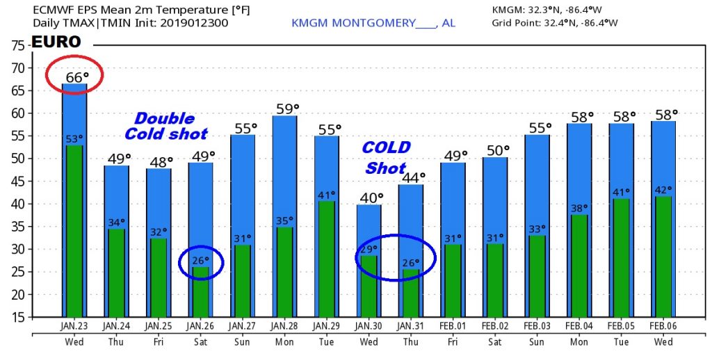
Good Morning! Another Day, another storm system. This will be a rather wet one, producing 1.5 to 2” for most of us. Some places will have more. The Storm Prediction Center says parts of the state could see storms reaching severe limits. I have the latest on details, including timing. Are you ready for some more cold air? It looks like several Cold Shots are on the menu over the next 6-7 days, one after another. I’ll tell you what to expect this weekend and beyond, on your Wednesday morning weather briefing.
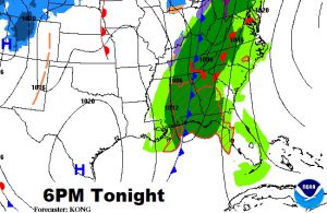
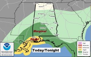
Another significant storm system will affect the state with a round of showers and storms today and tonight.
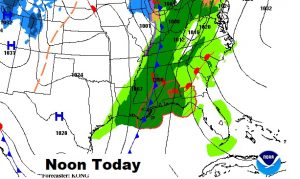
Storm Prediction Center has a pretty big chunk of south, southwest and west Alabama in a Marginal Severe weather Risk today. An even stronger risk exists closer to the coast. Damaging winds are the main threat, but tornadoes can’t be ruled out.
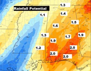
Rainfall amounts could be heavy, with 1.5 to 2″ over much of the area today and tonight.
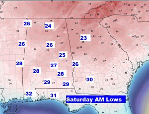
Behind the storm system, it turns windy and colder again. Coldest morning is Saturday morning in the 20’s. Chilly weekend, but storm-free.
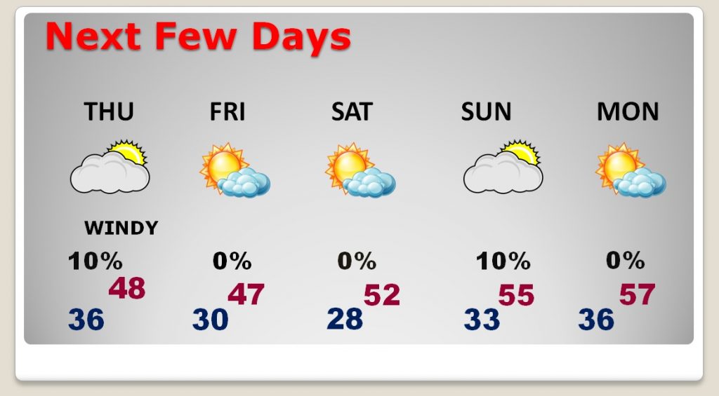
Lows in the 20’s by Dawn Saturday morning.