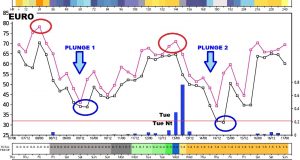
Good Morning! Dramatic changes are in the works from the next 10 days. A Record High Day today with lower 80’s, followed by a rather dramatic Temperature Plunge tomorrow headline the next few days. But, there’s more. On this video update, I’ll walk you through the timeline of the big changes down the road. Looks like about 3 significant cold fronts in the next couple of weeks with warm-ups in between. Some fronts will be stronger than others. Plus, I have updated the weekend weather details. I’ll run it all down with your toast and coffee this morning on your Thursday morning weather briefing.
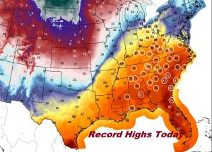
Record highs expected in 49 eastern and southeastern US cities today. In Montgomery, the record of 81 from 1957 should be broken.
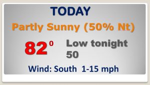
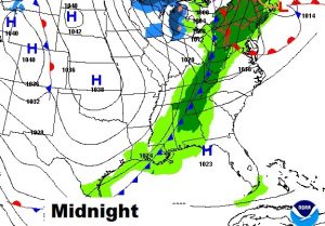
Dramatic cold front enters the state late tonight and reaches the coast by the morning. Showers ahead of, and right behind the front. Dramatic 30 degree temperature plunge behind the front tomorrow.
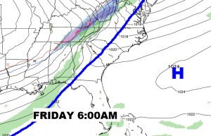
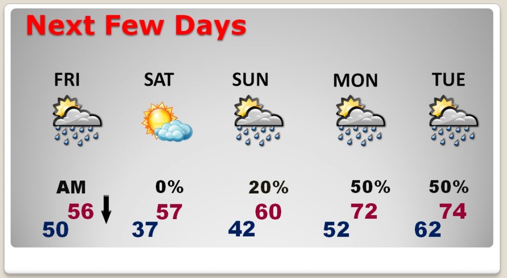
Windy and colder Friday. Cool Saturday. Slight chance of showers Sunday. Back to the 70’s Tuesday & Wednesday as scattered showers return ahead of another cold front.
EURO model thumbnail tells quite a 10 Day story. Record High today followed by a HUGE temp. plunge tomorrow, 30’s by Saturday AM. Recovering to the 70’s Monday/Tuesday. Cold front Tuesday night, followed by another big plunge. Then, recovery days 9 & 10. Quite a journey.
