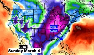
Good Morning! The word for Alabama for the next several days is RAIN. But, how much rain, depends on where you will get. Some parts of the state will see “boatloads” of rain, other places not as much. It’s a complex pattern. Each day will be different. I’ll do my best to give you the condensed digest of what to expect. And, attention winter weather fans: Are we done with winter? Apparently not. I’ll show you a pattern change on the not too distant horizon.
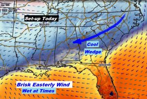
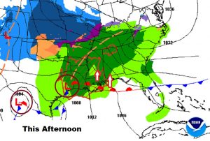
Today will be cool, windy and wet at times. Highs in the 50’s. Wind will make it seem cooler. The warm front near the coast will start moving northward overnight tonight.
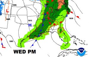
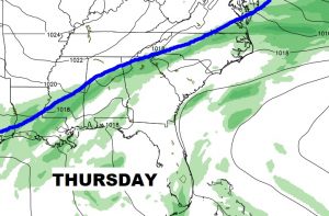
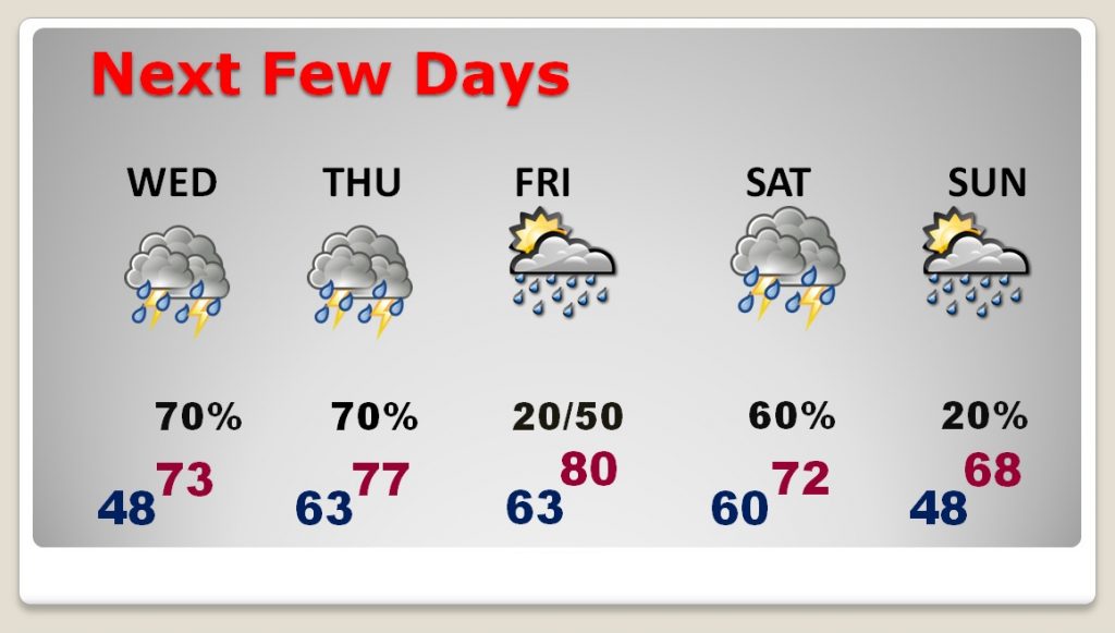
Tomorrow and Thursday we are back in the 70’s with showers and thunderstorms around from time to time. The heaviest rain will be along and near the frontal system.
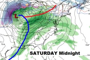
Rain is in the forecast each day…even a few thunderstorms at times. Friday will be the warmest day as we tease 80 degrees. A front on Saturday night could bring a round of strong storms. It’s too early to say if it will be a severe weather situation.
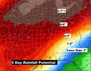
This map shows how much the rain totals will vary from north to south. Not much rain in the Dothan area, but there could be 2-4″ amounts north of I-85 and 5-7″+ in north Alabama where a Flash Flood Watch is in effect.
A front on Saturday night could bring a round of strong storms. It’s too early to say if it will be a severe weather situation.